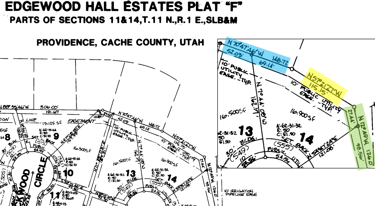
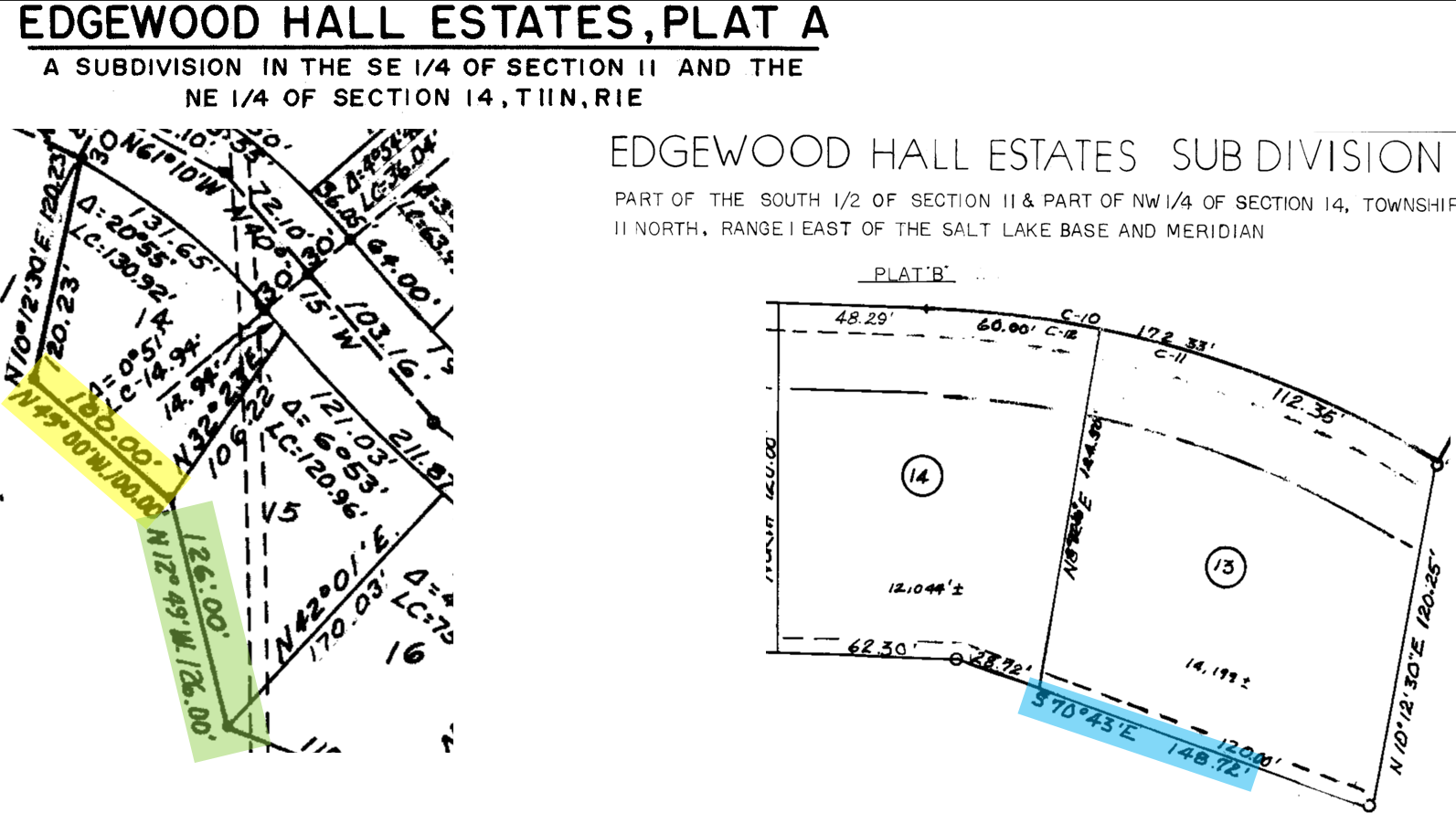
What has been your best practice for parcels with a significant ~15' difference difference. Between 3 subdivision phases the bearings are a little different but I can rotate and align the parcels and get close. But the 15' and way different bearing (see yellow highlight) I am not sure the best tool to use or leave it as an overlap.
I am using ArcGIS pro 3.2 and adding records and parcel to a geodatabase on my computer.