Hello,
I am a GIS student who is still fairly new to ArcGIS Pro. I'm making a map of bird distribution and utilizing the heat map feature. I have added a layer of crowdsourced reports of a species of bird that's using x,y data; I assume this is a point layer.
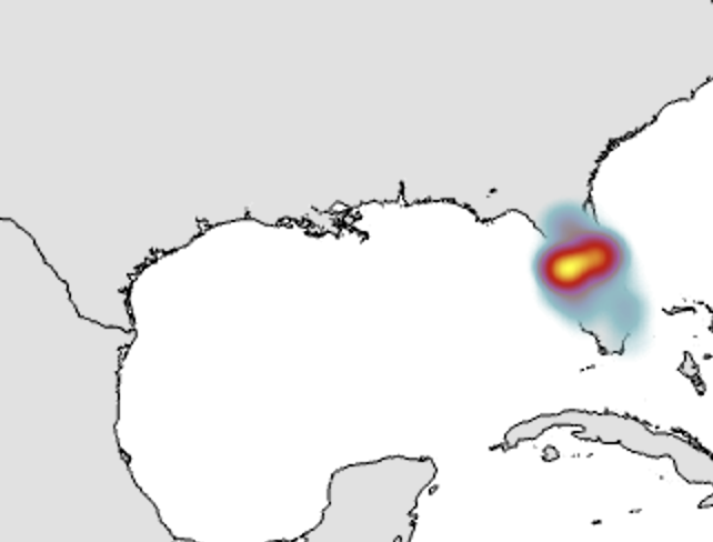
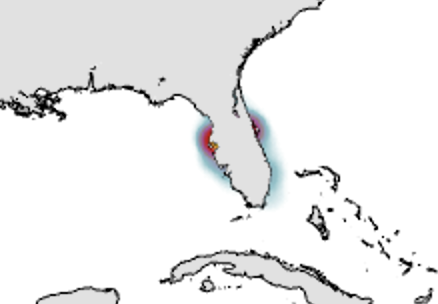
My problem is that I want the extraneous parts of the heat map that is outside the border of a state/country border to be clipped or hidden. The blue portions of my heat map in the attached image 1 are what trying to remove or mask/clip. I've tried a number of solutions but none seem to give me my desired result. The masking button under Feature Layer tab gets close to what I want, but it is inverted (See image 2). Essentially, I want the heat map to be limited to land, as the heat map "bleeds" outside the country boundary.
I appreciate any advice or help, I am trying to learn!