Hello
I am using ArcGIS Pro 3.1 with the Network Analyst Extension. I have run the Closest Facility solver in the past using an organizational account that allows me to use the ArcGIS Online Network Data Source rather than creating a network data source.
I have a list of routes calculated from a few months ago in areas of upstate New York. I went to run a similar analysis and noticed some of the same routes from incidents to facilities are now different. I checked these results against Google Maps and found that the closest facility tool is incorrectly calculating the nearest location. I have not changed any settings for the barriers, costs, restrictions, date and time, or advanced settings. The new routes are showing really far distances >50 miles when it should be in the 15-30 mile range. What could be the reason for the different routes?
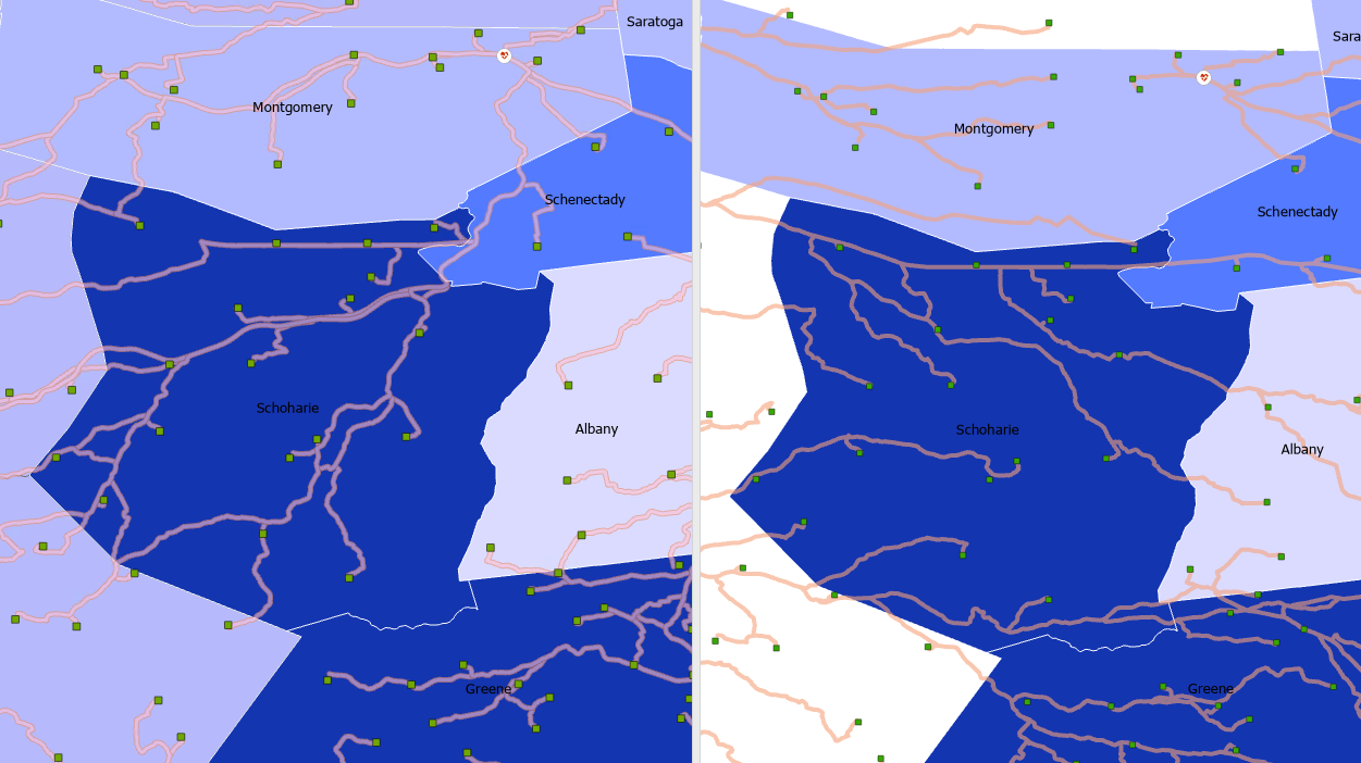
I attached an image below where the left is the closest facility route from the prior run (correct and verified). The right image shows the route output that I currently get (incorrect).