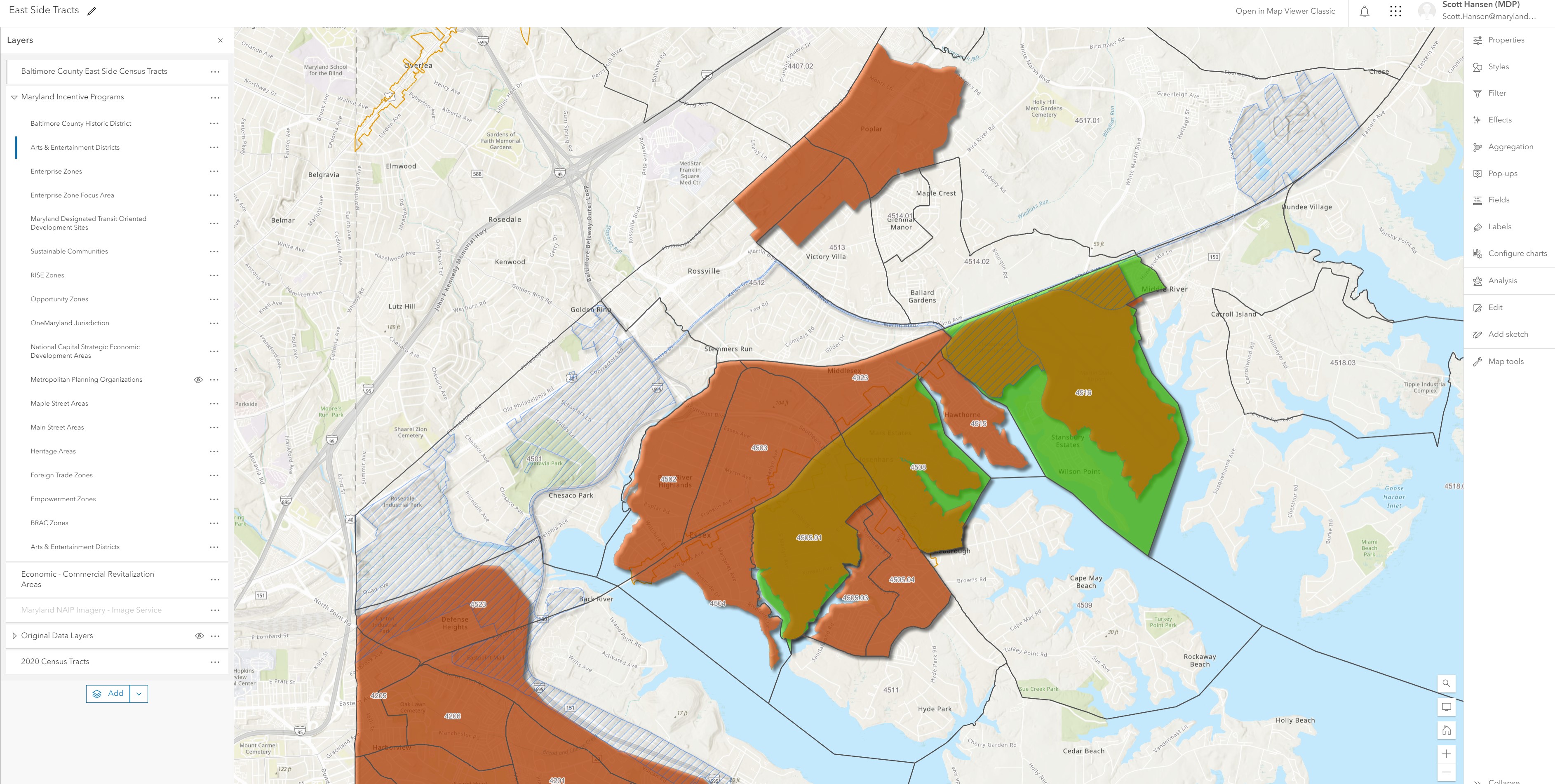
I want to make a map that illustrates census tracts (represented as 1 polygon feature class) and state programmatic layers (represented as 15 polygon feature classes). The idea is to create a web map in AGOL map viewer so that a user can click on a census tract and then be presented with a pop-up of all of the programs contained within that census tract. I would like to display the names of the programs only - counts are not needed. Your help is greatly appreciated.