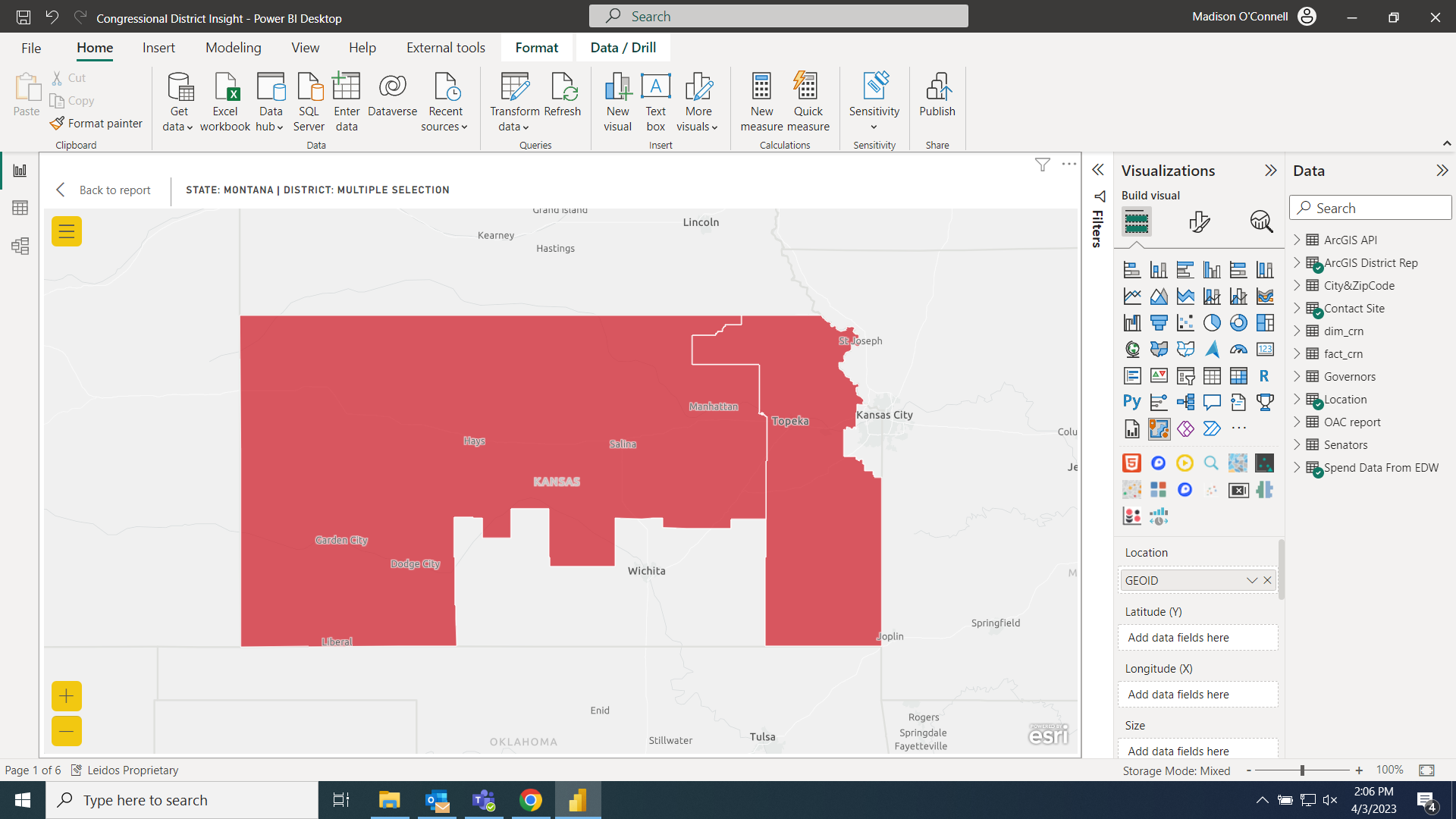
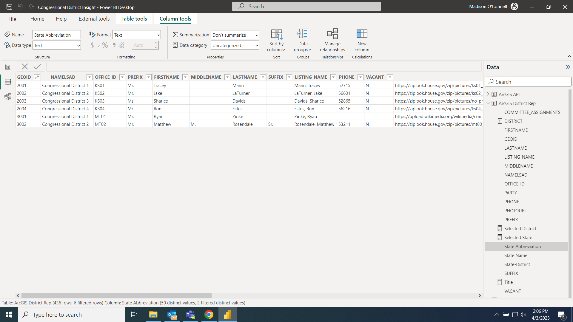
I am trying to map out the congressional districts using the ArcGIS map. I'm using the GEOID from an excel file that has been updated. Montana is the only state not plotting correctly. It ends up plotting in Kansas even though the GEOIDs are different. Any thoughts on how to fix this? I've tried with lat and long but it doesn't map correctly. Thanks