So I've been scouring the web and I can't seem to find out if there is a solution to a problem I'm currently trying to work around.
For some context, I am trying to utilize a service provider that has a mapping system built into their website. I thought that the service would be able to accept any type of shapefile upload into their mapping system, but it turns out they ONLY accept polygons and I've come to a road block.
The files I have are points and polylines and I am trying to see if there is any way to reconfigure them into a polygon feature class without having to completely recreate these lines and points from scratch.
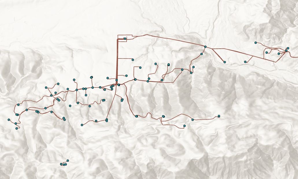
Any suggestions?
Thanks


