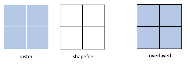
I have a raster and a polygon shapefile that line up perfectly, where each grid cell in the raster corresponds to a rectangle in the shapefile (diagram below). Each rectangle in the shapefile has a floating point value. Is there an easy way to assign those to corresponding cells in the raster?
Thanks.

