Greetings,
I have a survey form that leverages a repeat to capture inspection information, and each inspection requires an embedded repeat that captures two sets of latitude and longitude coordinates. When I submit the form the resulting feature service (hosted) contains 2 layers and one table. One of the layers contains the captured lat/long values (from the nested repeat). The other layer holds the information captured in the survey that is not within the repeat group. Finally the table contains the information captured date from the survey repeat.
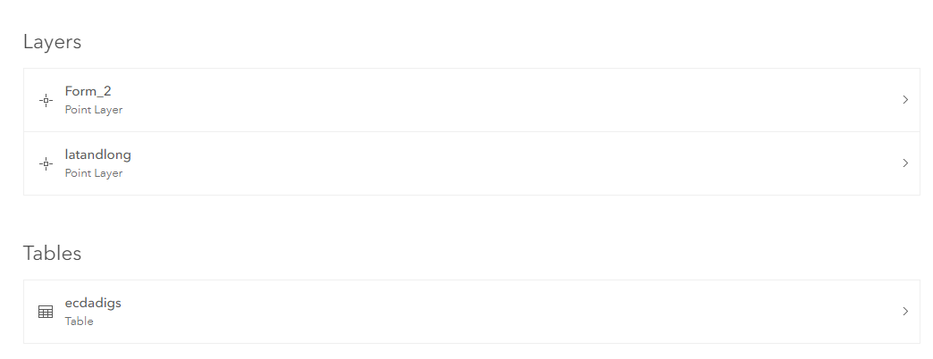
I want to create a web map that will show the captured lat/long points but also configure the pop up to display the values from the table.


