I am trying to use the Raster to Polygon geoprocessing tool to vectorize polygons from an image, but the output polygon layer does not line up with the original image layer. I've ensured that the projection for both layers are the same, and cannot seem to figure out why this is happening. I've encountered this same error multiple times with different images, in many versions of ArcPro. Hoping someone has a simple fix that I'm missing. Here are my steps outlined below:
1. Georeference screenshot of an image "Verizon_polys.jpg"
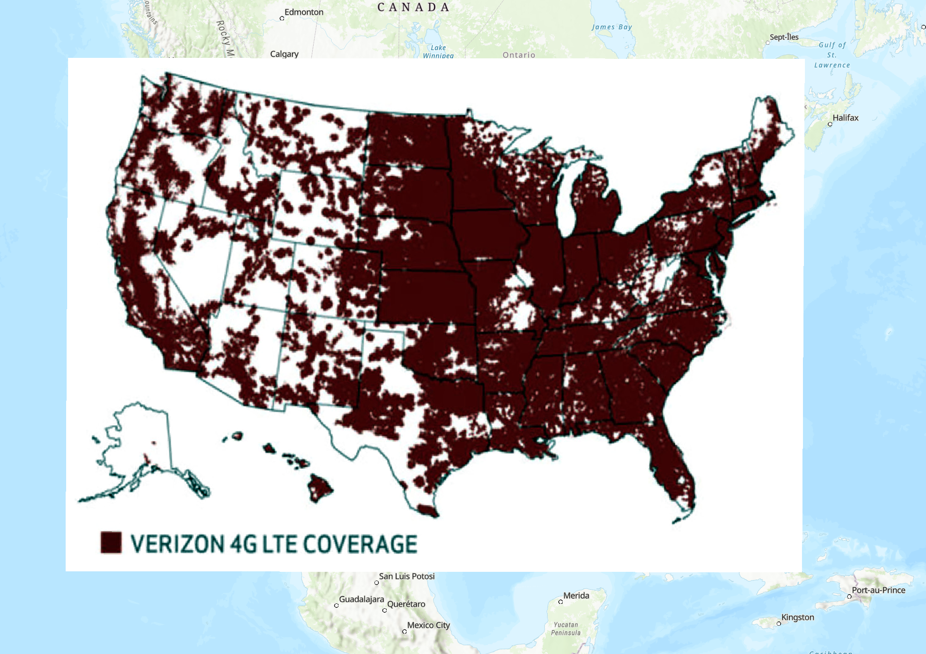
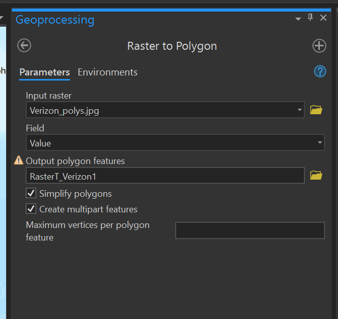
2. Run 'Raster to Polygon' on the georeferenced image
3. Isolate the values which contain the red data from the map, which are the polygons I am trying to extract
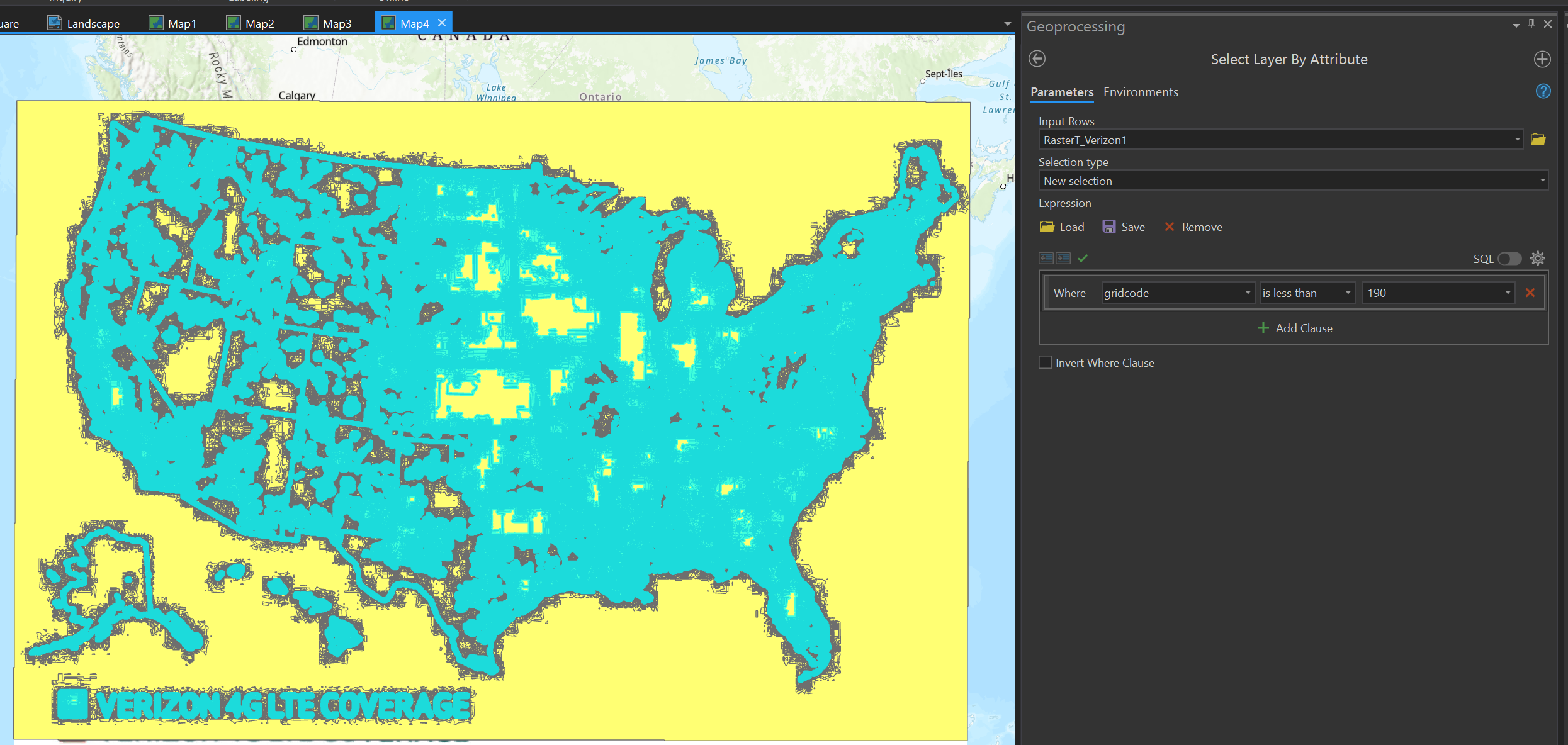
4. Export those values as a feature class (Blue = exported polygon feature class)
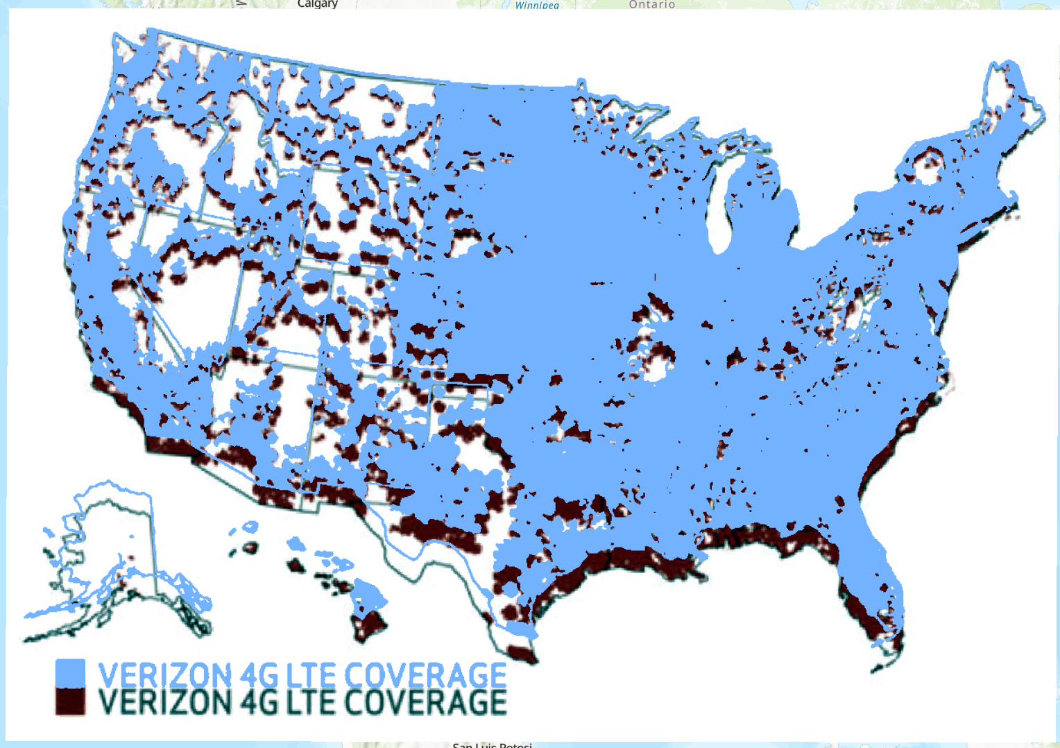
As is shown in the last image, at the top of the feature class the data aligns perfectly. As it moves towards the bottom it becomes more and more offset from the original raster image. Any help here is appreciated!

