I am working on a map to track crane activity on and off an airport. I want to use my own map that includes imagery plus a layer polyline layer that has elevation contour data (z values). I ask the user to select a location and not only do I want to pull the xy values, but also the z value from the contour (feature class in the map). I want these values stored in the survey form as read-only so I can do calculations on those values (specifically the elevation).
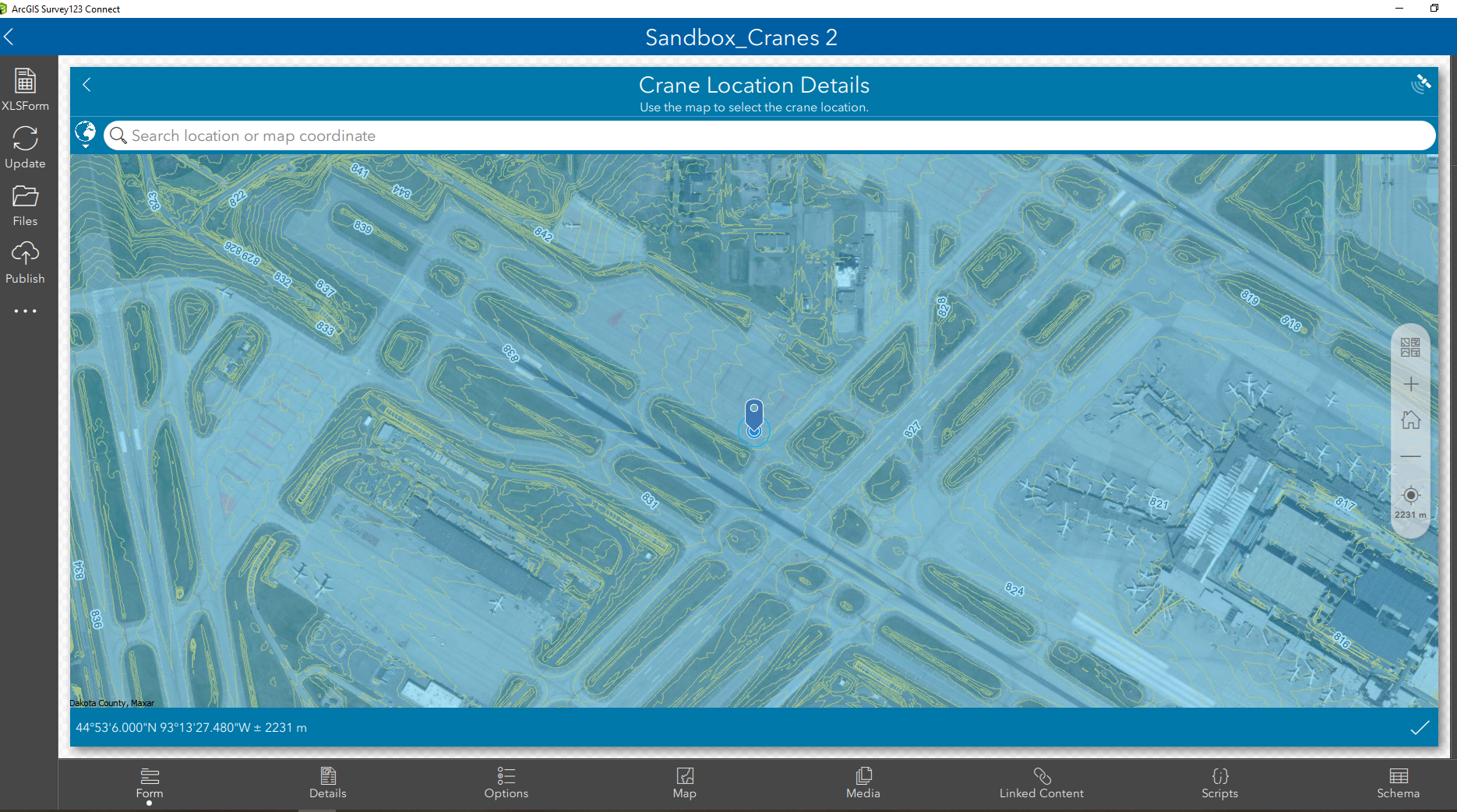
Hoping the braintrust can give me some pointers!
P.S. I'm using the pulldata() function for the geopoint already.