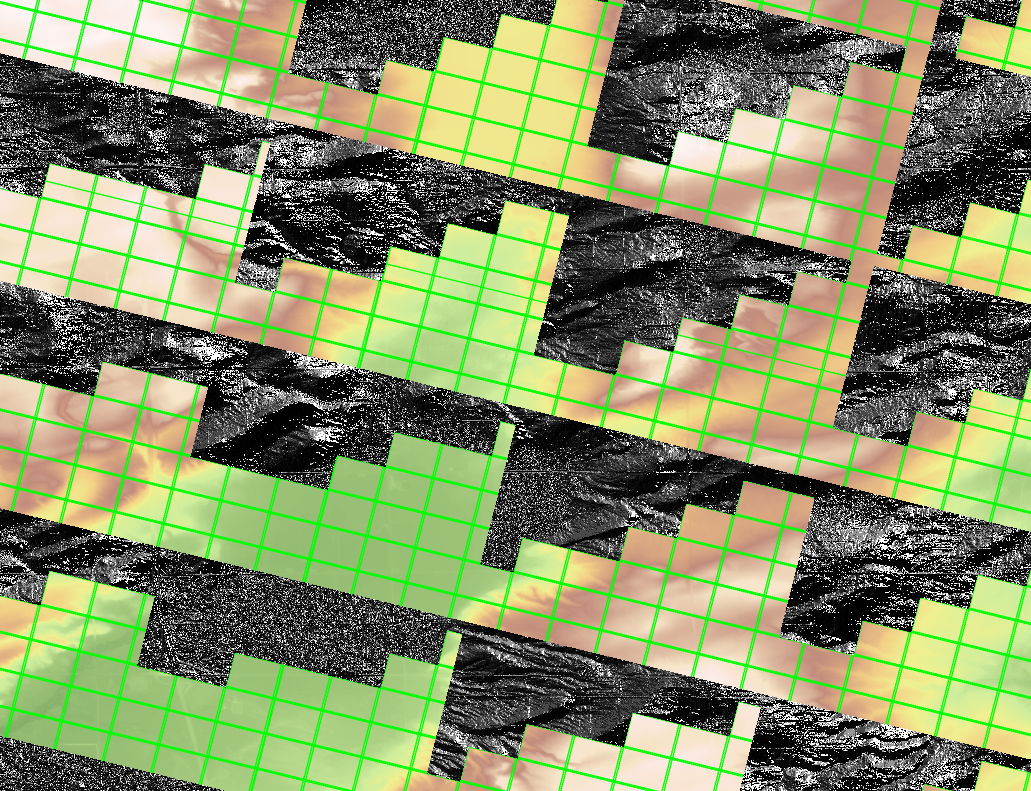
I have a DEM in a mosaic dataset that I am trying to run geoprocessing tools on (Fill, Flow Direction, etc.) but all of the outputs have blank space. In the screenshot you can see the DEM in the mosaic dataset covers the entire area, but the Flow Direction output does not. The outputs from other tools have the same pattern.
I am able to export the mosaic to a raster and run geoprocessing tools on that without issue, but I am still curious why I'm having this issue with the mosaic when I never have before. Any insight would be appreciated.