Hello,
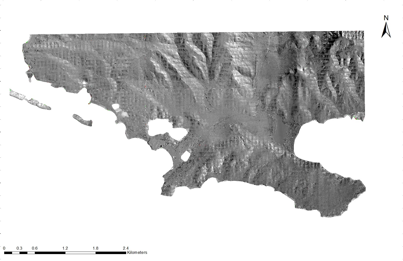
I am using ArcGIS 10.6. I am trying to see the difference between two rasters by using the minus tool. The output raster it is giving me have these weird pixelated boxes throughout the whole raster. I have attached a photo to better understand what I am talking about. Is there anything I can do to fix this? Is there something I am doing wrong? The rasters I am using both have a cell size and band size of 1 with the same projection.