Sorry about the images. I can't take code as text out of the development environment.
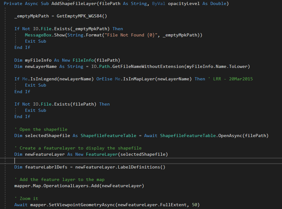
We are converting an old system based on version 10 to the latest 100 version. When using a shapefile as a layer using this code:
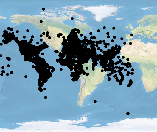
We get this. But...
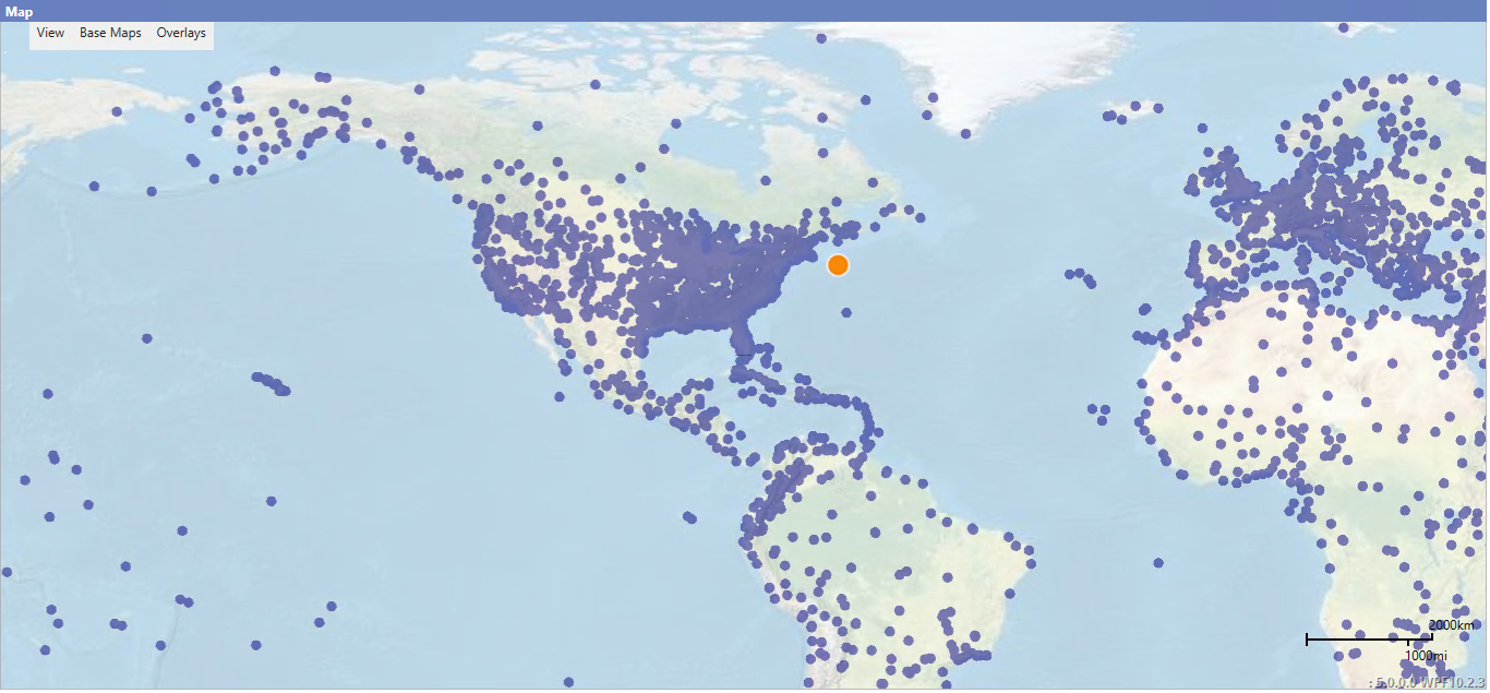
using the same files but the older version of the API I get the following. It looks like the projection is okay but the extent is messed up. How do I match the extent of the shapefile with the base-map?
Thanks so much for any help!
Steve



