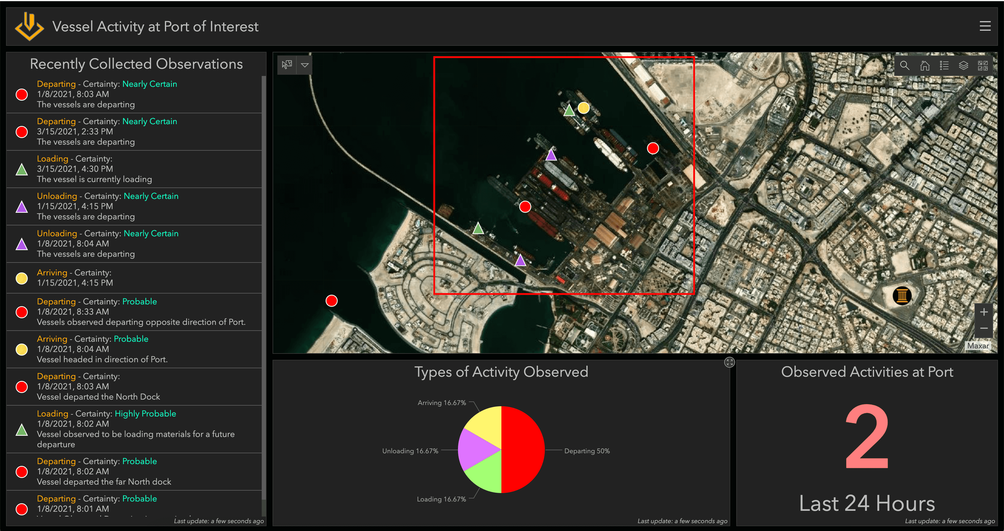
ArcGIS Excalibur has many capabilities for exploiting imagery to identify key activity. In Excalibur, these observation-based workflows are seamlessly integrated and easily accessible. So how do you start the process? One of the ways you can start is by opening an imagery project, a dynamic way to organize resources to complete your image-based task.
Interested to learn more? Read this new post by Esri's Megha Kakaraparti to find out how imagery projects in ArcGIS Excalibur can help analysts identify key observations: https://www.esri.com/arcgis-blog/products/excalibur/imagery/use-arcgis-excalibur-for-imagery-exploitation-to-identify-key-imagery/
Aangemelde leden kunnen berichten plaatsen, updates volgen en meer. Nieuw hier? Registreer een gratis account.
Find useful guides, FAQs, and documents to help you navigate and make the most of Esri Community.