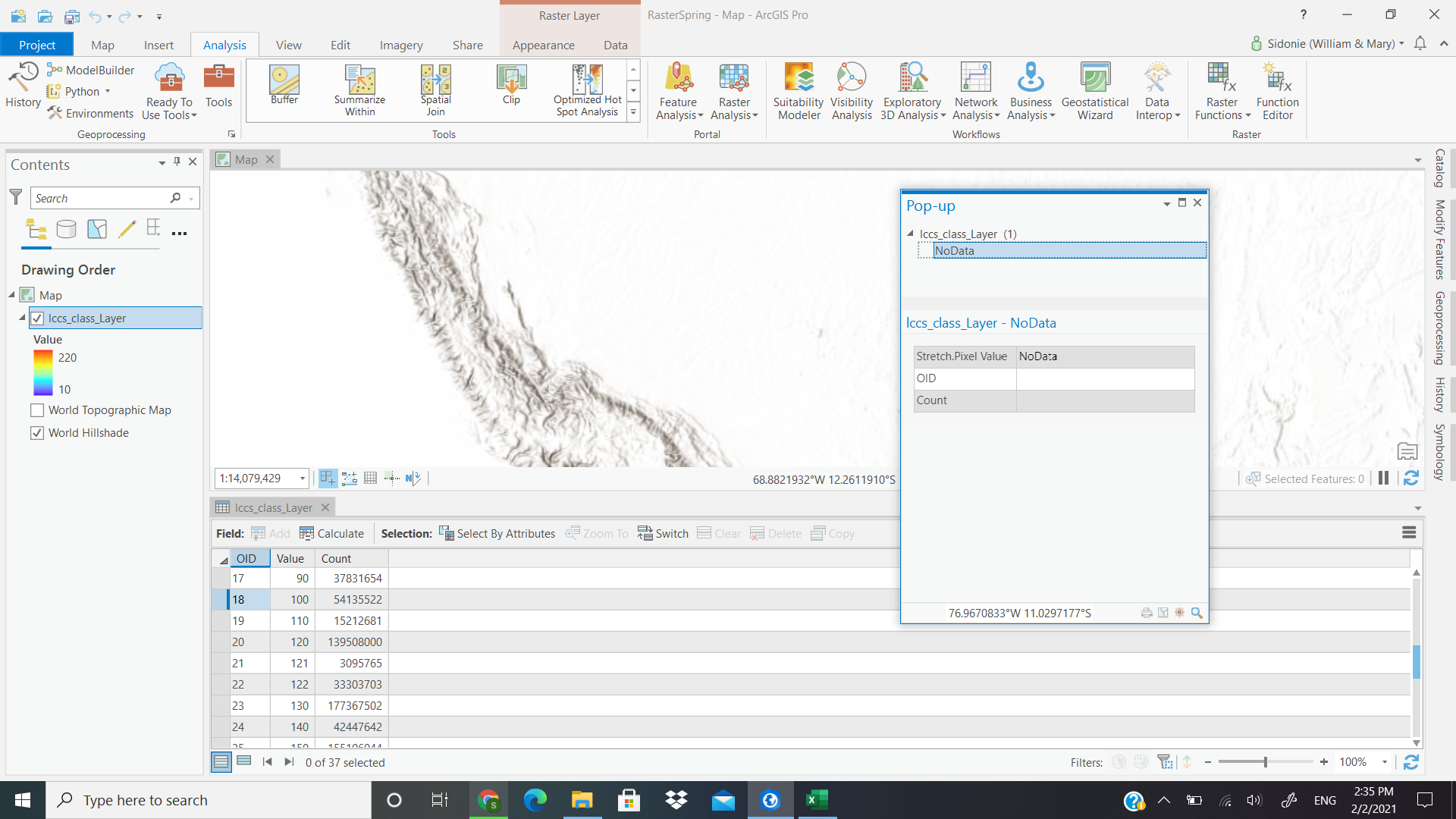
I am trying to convert the ESA Climate Change Initiative maps for 2016-2019 from NetCDFs to geoTiffs. The website for downloading the data says that this is possible.
I used Make NetCDF Raster Layer (Multidimension Tools), which ran without error. However, the data does not draw and everywhere I click on the map the pop-up says no data. There is an attribute table with a count of every different value. I'm overall just confused. Attached is a screenshot of what I see.
Is there a different way I should have done this conversion? Is there somewhere this data already exists in raster form?