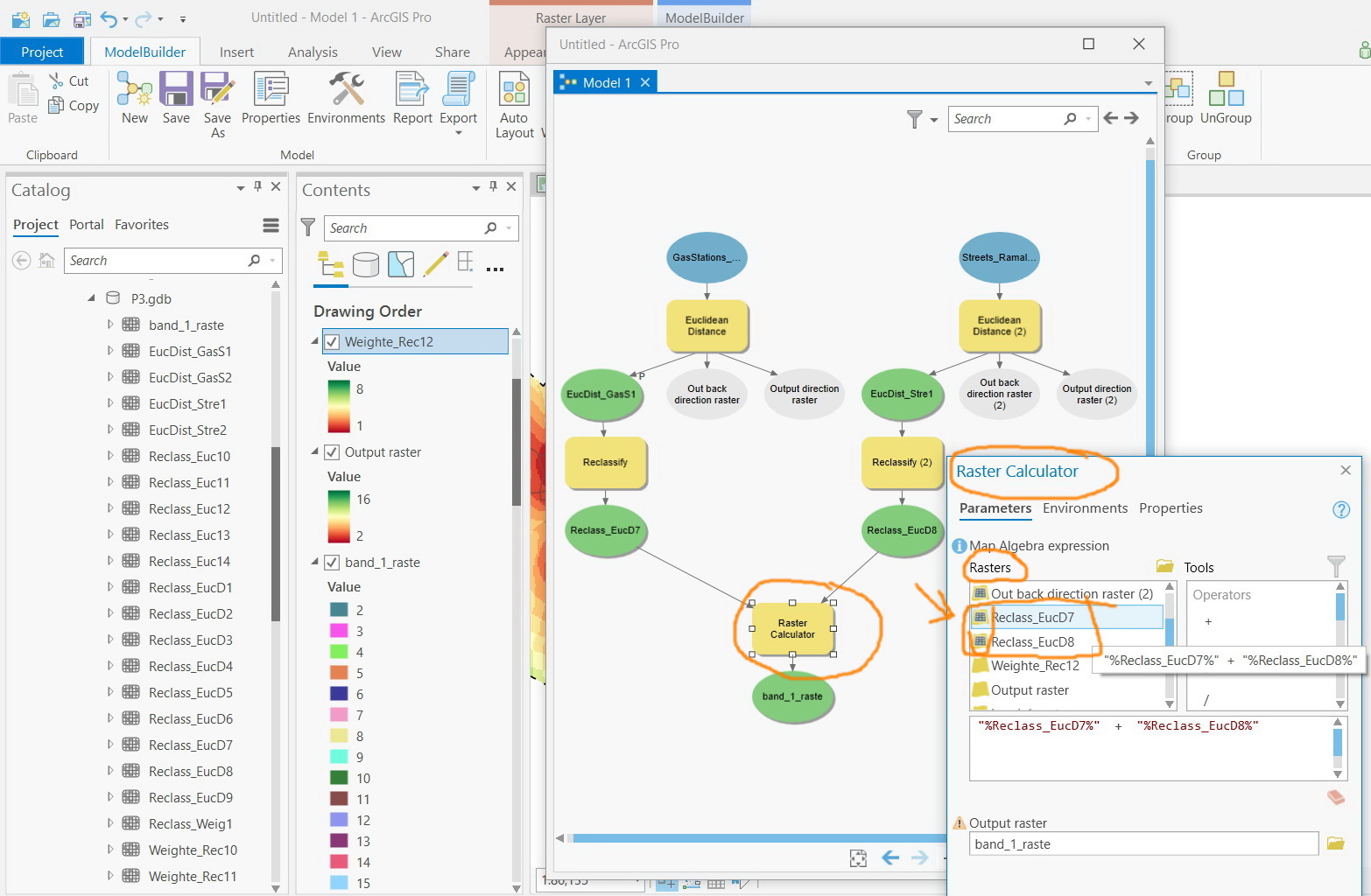
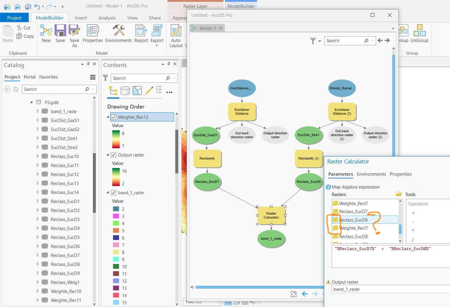
ArcGIS Pro 2.5: What does the raster symbol indicate within the “raster calculator” tool?
I couldn’t figure out what does the raster symbol indicate within the “raster calculator” tool; i.e the symbol next to the name of the raster (yellow and gridded symbol)