Hello,
can anybody give me additional information on how contouring (3D Analyst) in ArcGIS works?
Looking at the explanations within the help files I got no satisfying answer. I derived a contour from a raster with a resolution of 1 m and a base contour located at 0.05 m above mean sea level.
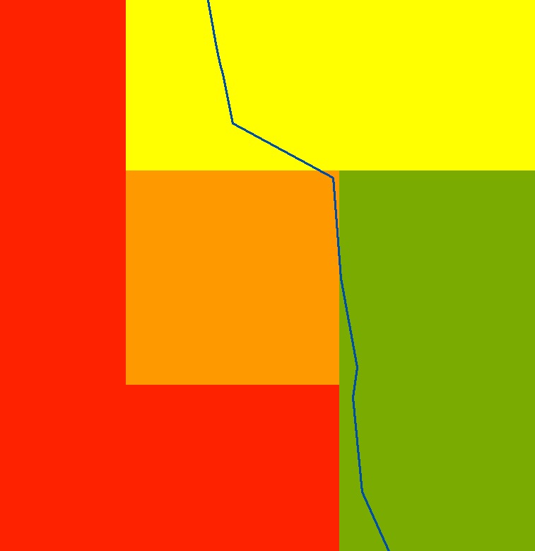
Is it a TIN-interpolation based on the cell center points? I wonder why the distances between the vertices (contour) are so irregular...
Any information on how the contour-tool works in detail would be great!
Best regards
Thorsten Dey
this is how it looks like...