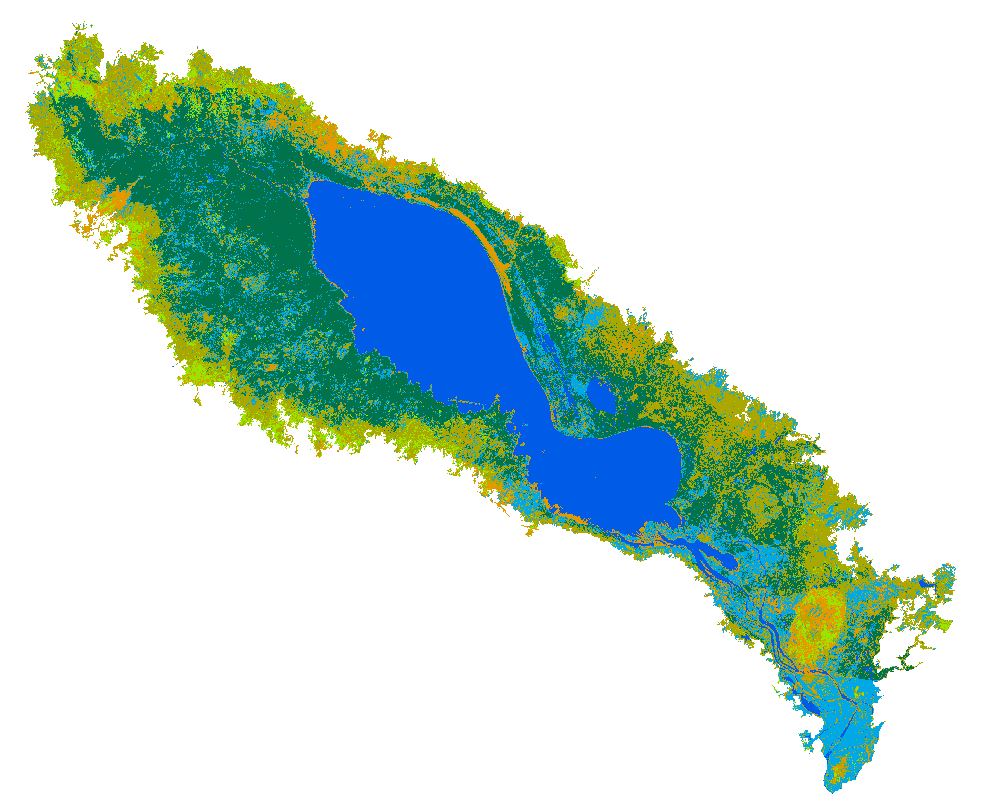
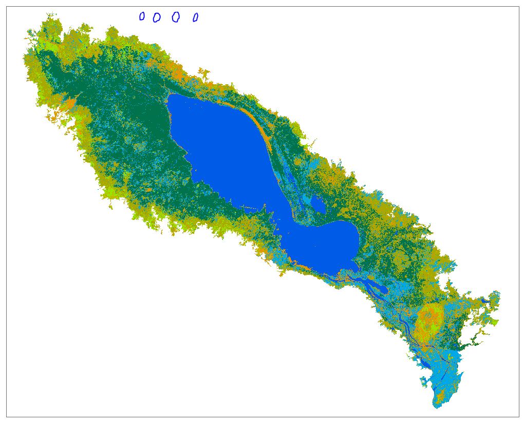
Hi all, I want to create a new raster file and need some guidance. The first screenshot displays the current raster file I have. And I want to enlarge its spatial extent to the rectangular boundary and assign 0 to the newly-added pixels. How can I make it using ArcMap? Any ideas will be highly appreciated! Thanks!