Hello all,
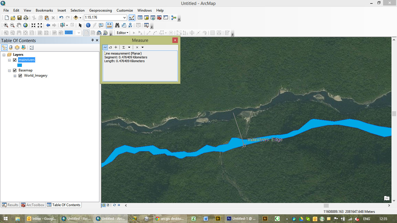
I have been looking for answers, from coordinate systems issues to projection issues but have not found a solution to this sticky one yet. As you can see below, my river SHP does not match the river on the satellite imagery... only by... 400 meters. Coordinate systems and projections are the same (I projected the river shapefile (was WGS84UTMzone47N) to the projection of the imagery. Would anyone have a clue what the problem is?
Thanks!
GGN406



