Hi all,
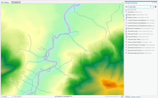
I am working with a lidar dataset in ArcPro to extract information about the hydrologic network in the study area. Online, there is a tool called Polygon to Centerline (Polygon To Centerline—Topographic Production toolbox | ArcGIS Desktop) that can extract the centerline of a polygon that shows the river network, however I cannot find the tool when I search for it in ArcPro. Is this tool available yet and if so, are there any extensions or downloads needed to run the tool?
Thanks,
Shannon


