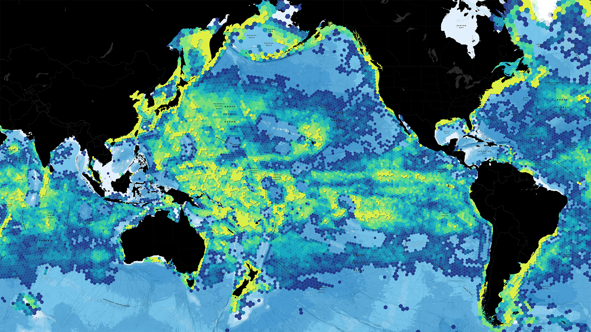
Global Fishing Watch, an international nonprofit organization advancing ocean governance through transparency of human activity at sea, recently undertook a project increasing the level of ocean understanding for GIS users everywhere. We’re excited to share that new Global Fishing Watch layers are now available in ArcGIS Online and in the ArcGIS Living Atlas of the World. This marks a significant milestone for the GIS community, providing direct access to powerful datasets designed to inform, inspire, and support efforts to protect our oceans.
To learn more about the layers and how to access them, visit this blog by @KeithVanGraafeiland.