Hi Everyone!
I'm trying to build a easy Spatial ETL Tool that allows me to reproject some features (from many sources) to one single coordinate system.
I've configured the "reprojector" transformer in this way:
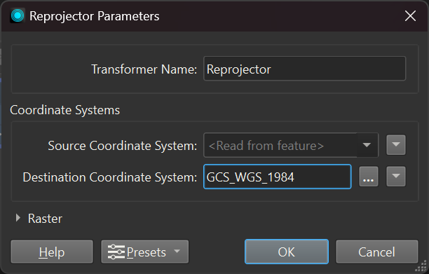
My question is, as the source coordinate system is directly read from the input feature and the output coordinate system is the same for all my input features, can I connect all the input features to the same Transformer? or I need to create a transformer for each feature?
That's because the transformer only shows 1 output, so I don't know if is there any way to separate each layer to make individual writers.
Thanks a lot!

