Dear Xander and others,
I am very interested by your topic. I am also trying to convert 3D points into 3D lines. The data is elevation points on river cross sections. I tried this procedure based on standard tools:
1) “Split Line At Point”: lines = cross sections; points = elevation surveys
2) “Spatial Join”: target features = split segments; join features = elevation surveys, to match point attributes (Z, order of the points, etc) with split segments
3) “Feature To 3D By Attribute” on join split segments
4) “Dissolve”: aggregate split segments based on cross section IDs
This procedure does not work well. “Split Line at Point” fails to take points spaced of a few centimeters. However it is not a major problem since it can permit to smooth elevation points. The main problem is “Spatial Join” does not match correctly segments with points: most of the time the same point attribute is given to two successive segments surrounding the point, so that approximately half the point information of the data set is missing. Finally the dissolved lines do not align with points. See the ArcScene capture: colored segments are join split segments, red lines are dissolved lines, and black points are elevation surveys.
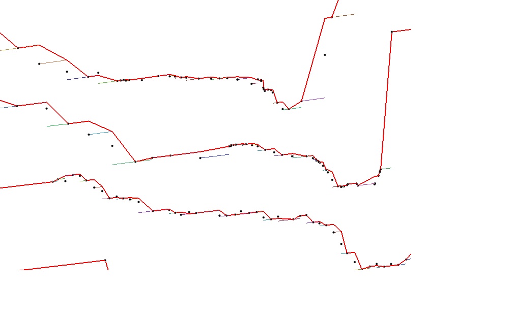
So I would be very interested by using your Python code! However I am a very (very) beginner of Python and I am not sure how to use it. It tried to adjust the code:
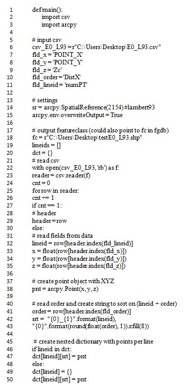
But I get error messages. Please could you provide me assistance?
Thank you in advance for your reply.



