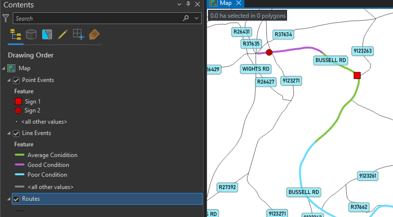
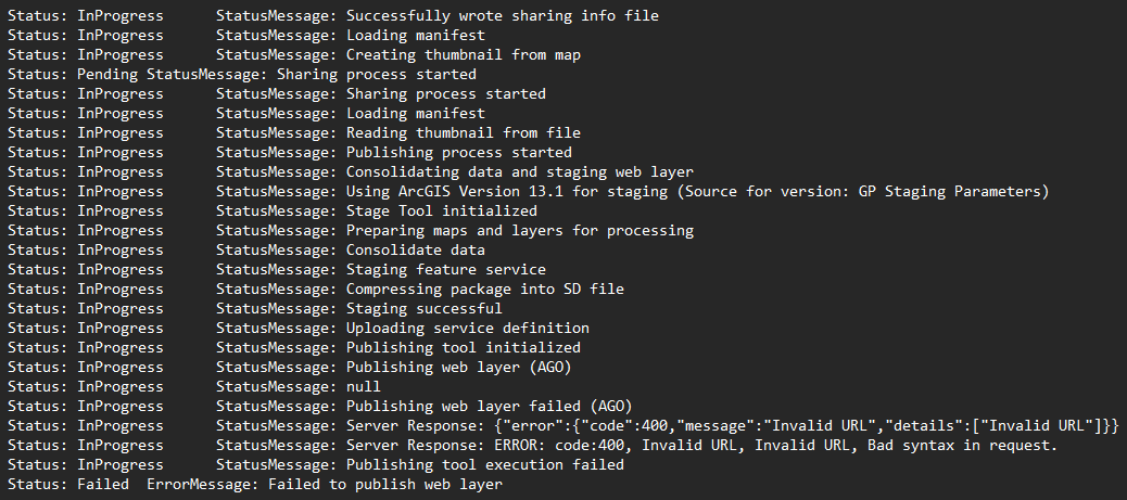
I've been reading and experimenting with Linear Referencing in ArcGIS Pro. I have managed to create a Route layer as well as point and line Route Event Layers. Now I want to publish these to ArcGIS Online for use in Field Maps (to view and for data collection). To me, it sounds like this should be possible (see here: Collect measurement data in the field (esri.com)) , but I'm finding it hard to find literature, and not succeeding in publishing the Event Layers. I suceeded in publishing the event table, but once in ArcGIS Online, can't figure out how to link the 2 to display the Route Events in the Map Viewer.
Can anyone provide any useful information on the specifics of creating Linear Referenced datasets in ArcGIS Online for use in Field Maps?