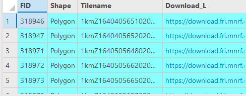
I'm trying to implement some LiDAR data into my ArcGIS Pro work. The data I want to access is packaged into tiles, each hosted as their own feature in a single layer. These tiles contain a hyperlinked URL in the attribute table, which allow me to download the corresponding .laz files.
I want to download several hundred of these files, and I think Python would be a good choice to automate the downloading for me. Does anybody have pointers, tips, etc? I've seen mention of a 'for loop', would that be appropriate for this type of task?