Hi,
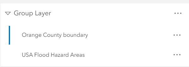
I am trying to mask a FEMA Flood Area Hazard feature layer to the Orange County, CA boundary layer in the New Map Viewer. I am following this tutorial: https://www.esri.com/arcgis-blog/products/arcgis-online/mapping/create-a-clipping-mask-in-arcgis-onlines-map-viewer/ by John Nelson.
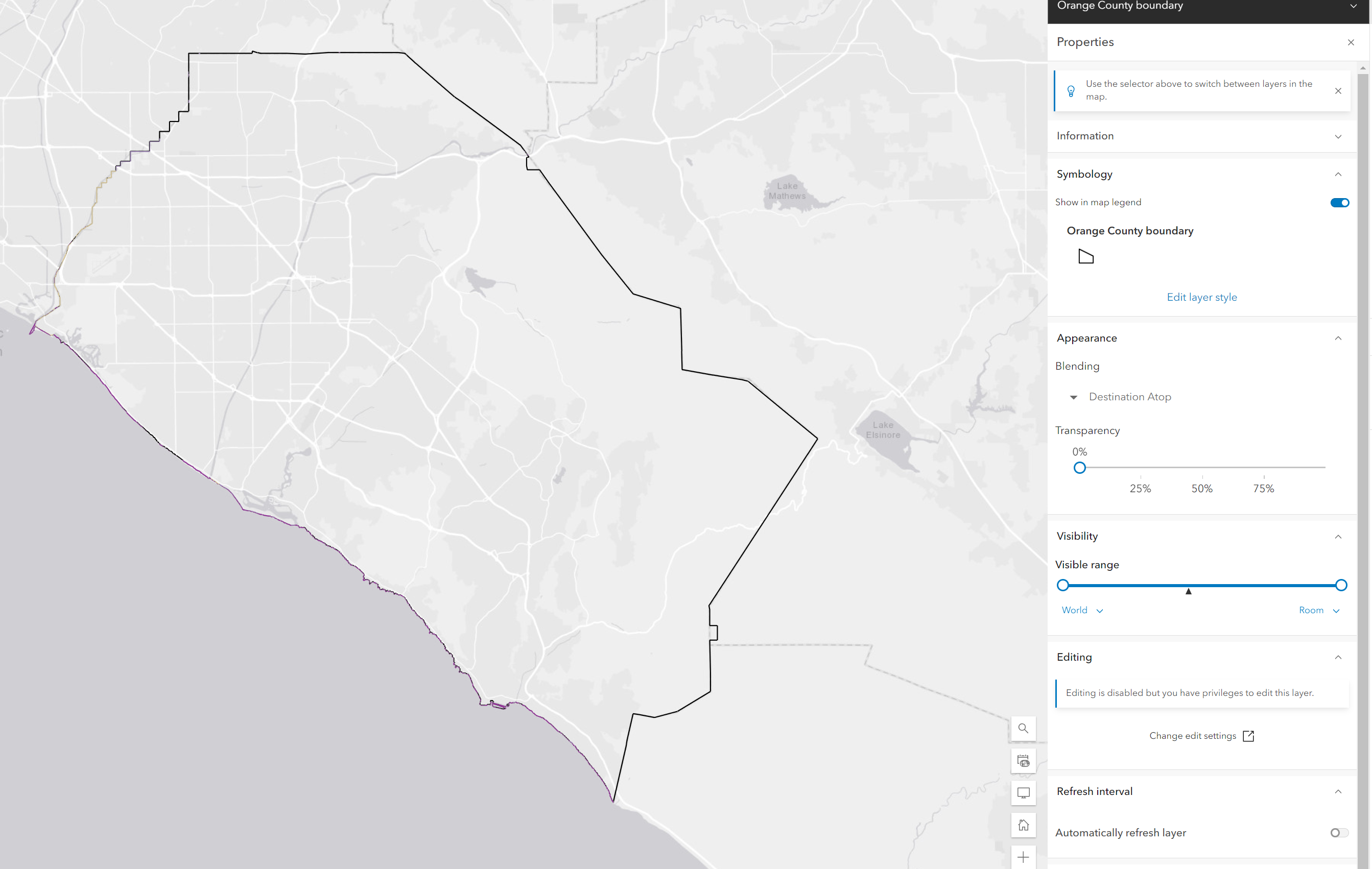
However, when I group and then blend using Destination Atop, the flood layers only display on the boundary outlines. Anyone know how I can troubleshoot this bug so that the flood layers display within the OC boundary?
Screenshots below: