Hello,
I'm trying to follow this methodology: https://www.esri-ireland.ie/en-ie/resource-centre/we-talk-tech/printing-custom-layouts-from-arcgis-online to print custom layouts using only available OOTB tools in an ArcGIS Organization Account.
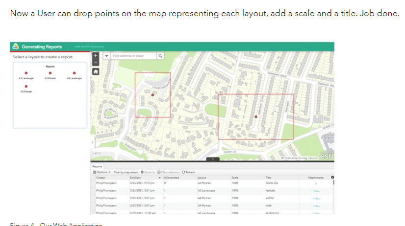
I'm curious to know how the author was able to create a feature template that creates a rectangle polygon with the point (primary geometry) as the centroid.
I'm playing around with managing templates - creating group templates - with point as the primary geometry and the only option when choosing a builder is a buffer (which creates circular buffer from the point).
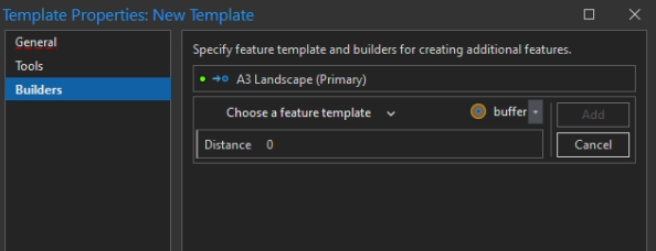
Any ideas?


