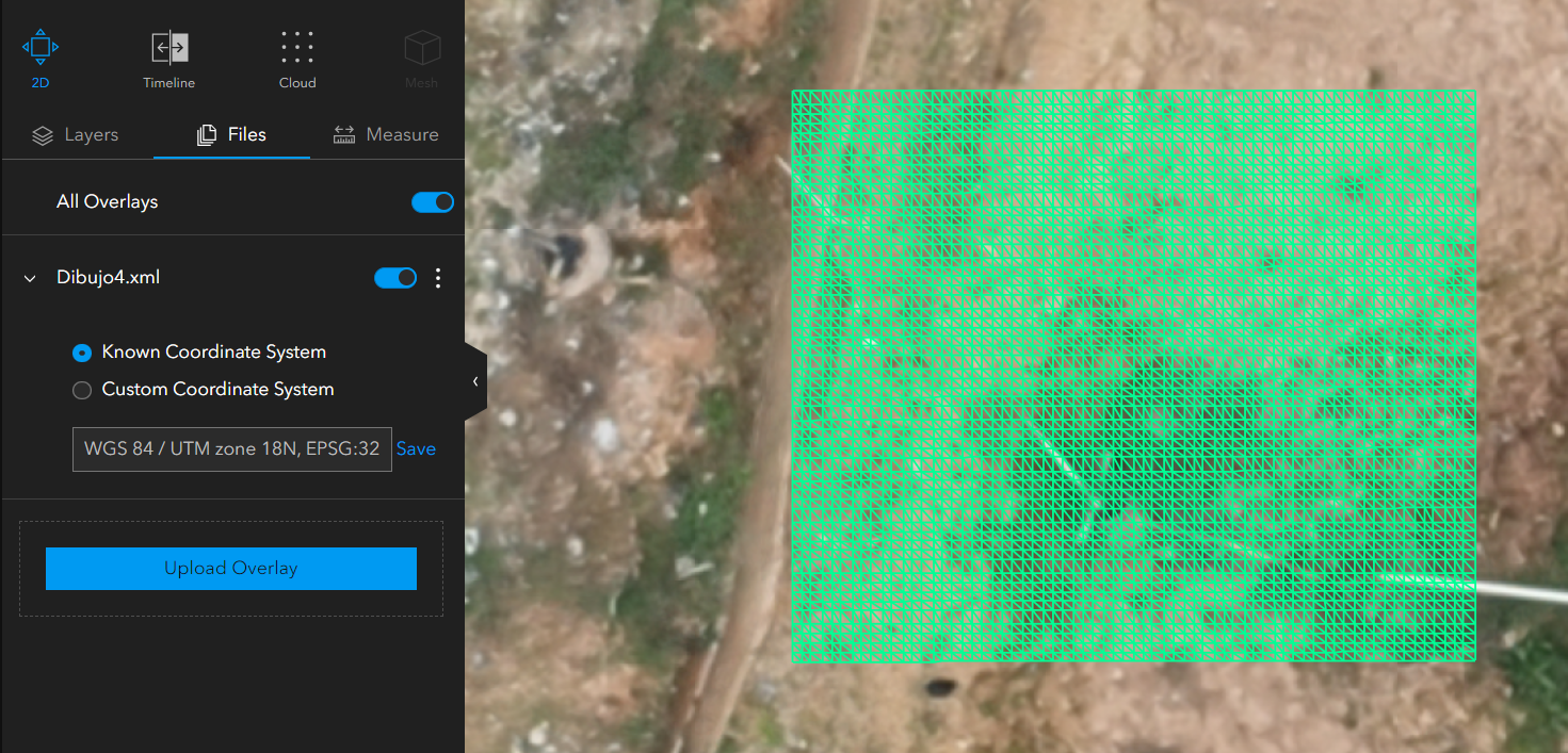
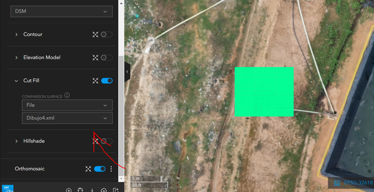
こんにちは、Imagery and Remote Sensingコミュニティの皆さん。Site Scanについて質問があります。Cut/Fillツールのドキュメントに記載されているように(https://support.esri.com/en-us/knowledge-base/how-to-use-cutfill-measurements-in-site-scan-manager-fo-000023065#:~:text=All%20elevated%20areas%20above%20the,including%20construction%20and%20scientific%20analysis.)、LandXML形式で読み込んだサーフェスをSite Scanで生成された標高製品と重ね合わせようとしています。しかし、サーフェスを読み込むと次のように表示されます:<\/SPAN><\/P><\/span><\/P>しかし、比較サーフェスとして選択すると、Cut/Fillツールを使って交差を行うことができません:<\/P><\/span><\/P>LandXML形式のサーフェスが交差を実行するために持つべき特性やワークフローはありますか?<\/P> <\/P>
Hi @cdanielvarons, We've had occasional reports of challenges with the Cut/Fill functionality in Site Scan when comparing to a LandXML. Please try again, it should be resolved now. Let us know if you encounter this again, preferably on the Site Scan Questions board.
サインインしたメンバーは投稿、更新のフォローなどができます。初めてですか?無料アカウントを登録してください。
Find useful guides, FAQs, and documents to help you navigate and make the most of Esri Community.