Hi There,
I am using ArcGIS in my dissertation and I am stuck.
I have data sets of catchment areas that contain mineral abundance percentages (they are from sample sites)
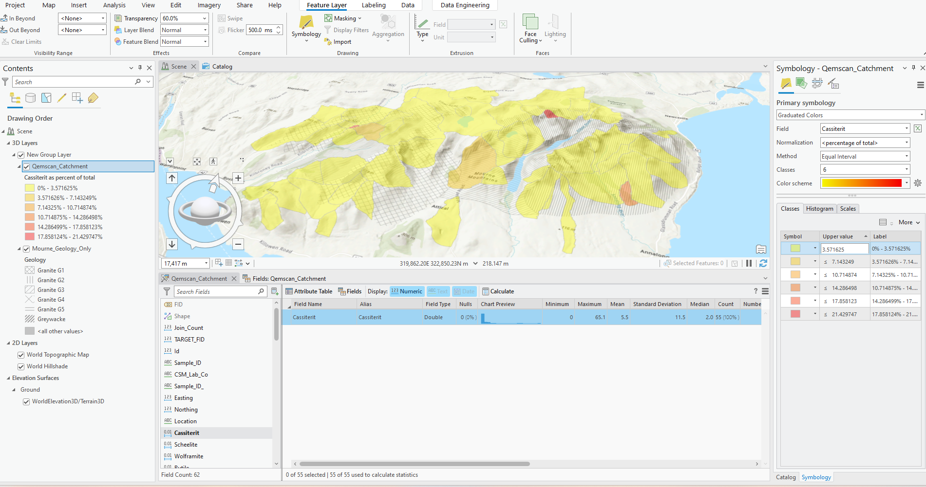
I am required to drape over these catchments and colour them so it shows graduated colouring with 6 intervals that are like:
<2%, 2-5%, 5-10%, 10-20%, 20-40% and >40%
so it shows the varying percentages in minerals found and so on...It seems to generate its own interval and I can't seem to change it and its very frustrating, this is what it looks like so far...what am i doing wrong or not doing?