I am trying to project coordinates in an asp.net page by calling a geometry service through the rest api. I am using the geometry service at "http://tasks.arcgisonline.com/ArcGIS/rest/services/Geometry/GeometryServer/project". I want to convert from stateplane x,y to latitude, longitude.
Here is a screen shot:
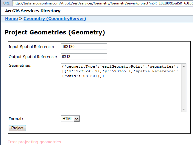
Am I doing something wrong? is it possible to project from NAD_1983_2011_StatePlane...(103180) to GCS_NAD_1983_2011 (6318)?
Thanks for any help!
Janice.


