Hi -
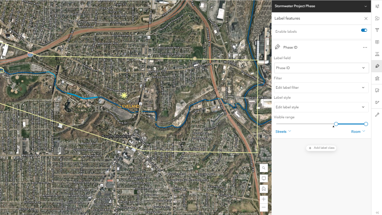
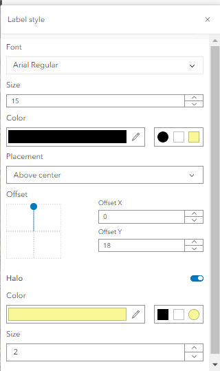
I have a map created in the new Map Viewer and added a map image service that contains two layers: one a polygon layer (Project layer) and one a point layer that is a related layer (Phase Layer - that shows specific phase locations of the larger project). I have created labels for the Project layer that appear between 20,000 - 75,000 feet, and I want the Phase labels to turn on under 20,000 feet, but they do not turn on (even if I make them turned on at all extents). Any suggestions of what I might be doing wrong?
Thanks!
Leila