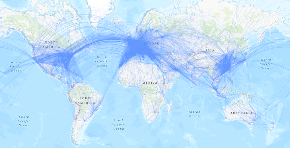
I know in Insights Desktop a user can create a `flight path map` similar to the one shown below. In regard to this, I have the following questions:
- Can someone share a workflow/tutorial on how to create one?
- Do I need a shapefile or a CSV can also be used? In either case do I need to have a coordinate column or a centroid coordinate for the origin and destination polygon? Do the coordinates need to be in WGS84 format or it can be any CRS supported by ArcPro?
- Can I change the boldness or color of the path depending on the number of outflows from the origin point to each destination point?
Desired output: