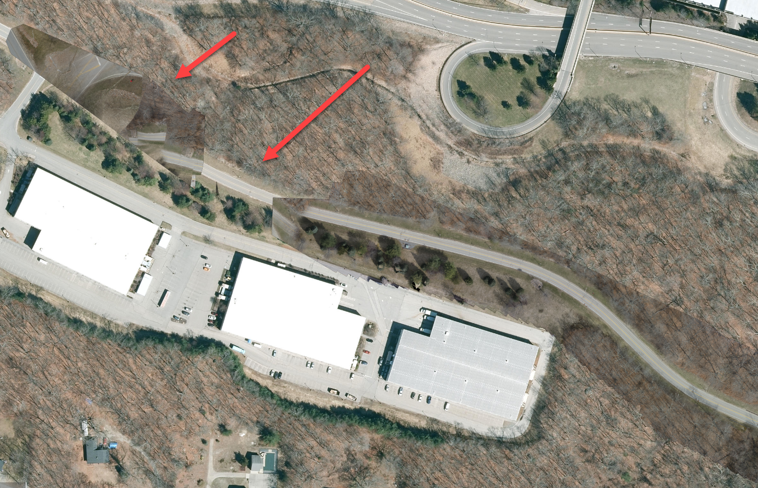
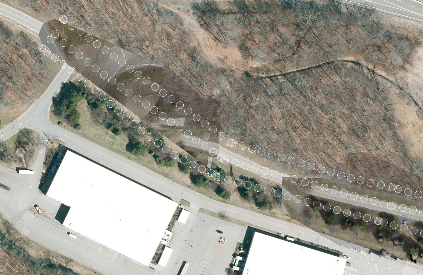
今週初めにM300RTKでcorridor flightを行い、Site Scanで処理したところ、奇妙な結果が出ました。道路の一部をスキップしたようで、再開した地点の画像はすべて向きが正しくありませんでした。何が起こっている可能性があるか、ご意見はありますか?
Hi @Andrew-Bowne, Based on the info you shared, it seems you planned your mission correctly, and that the images were captured as expected. I assume that some images did not calibrate during processing causing to the gap, and subsequent images to calibrate but incorrectly (North West corner). Without more details I can't confirm or explain why. Please open a support ticket to get an analyst looking at this as soon as possible and resolved. While Support reviews this, since you mentioned you were using an M300RTK, you can try reprocessing the mission but set the geolocation accuracy to 0.1 ft/ 0.02 m for XY and Z in the advanced processing settings if RTK was being used. If RTK was not in use, set it to 1 ft / 0.3 m XY & Z for testing. You can set the output resolutions to the lowest settings for faster results to see if they improve, if they do, reuse the same geolocation accuracy setting but with the desired output resolution.
Regards,Nico
Hi @NicoBonnafoux ,
I took your suggestion and tried reprocessing with an adjusted accuracy of 0.1ft for x/y/z and it seemed to have solved the problem. I am rerunning with the highest resolution right now to see if the output is the same as when running with the lowest resolution. Thanks for the suggestion. Would you suggest always using modifying the RTK accuracy settings when processing?
Would you suggest still opening a ticket? I can't really show an analyst the result now that it has been corrected.
サインインしたメンバーは投稿、更新のフォローなどができます。初めてですか?無料アカウントを登録してください。
Find useful guides, FAQs, and documents to help you navigate and make the most of Esri Community.