Hello,
I have a issue where I have data generated in WGS 1984 and when we project the data into NAD 1984 the two points that should line up are now off by a few meters.
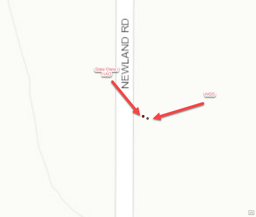
I found this thread on this issue.
https://community.esri.com/t5/coordinate-reference-systems/issues-with-wgs-1984-itrf00-to-nad-1983-datum-transformation/m-p/811561
Which essentially says the datum have drifted apart. Is this a known issue, and I need to store data in these two projection but display them on the same map. Is there a process to fix this?
Regards,
Jim



