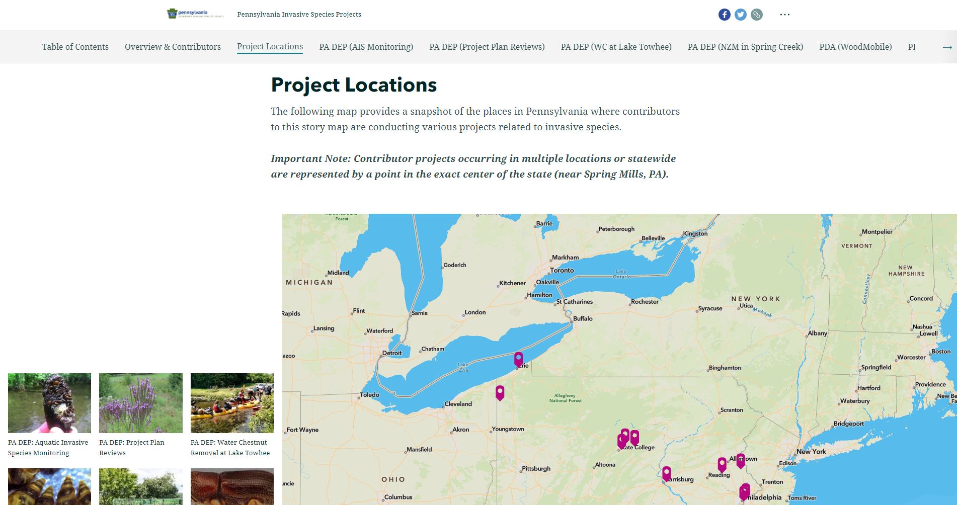
In a recent StoryMap I just made (https://storymaps.arcgis.com/stories/7a0f6078503f48429658e75bb78e7d10), in the Project Locations section, I used the Map Tour to show where each of the projects highlighted in the StoryMap were taking place. Some of the projects were happening at a specific location, and so a point on the map was perfect. However, in many cases, projects were happening in multiple locations, a region, or the entire state. In these cases, it was impossible for me to find a way to showcase this on the map, and so as a work-around, I had to include info above the Map Tour saying that points located in the exact center of the map represented projects that were happening in multiple locations or statewide.
Could there be a mechanism built into StoryMaps that would allow the Map Tour to draw a polygon around a county, region, or the entire state, when that is applicable?