ArcGIS Pro 2.6
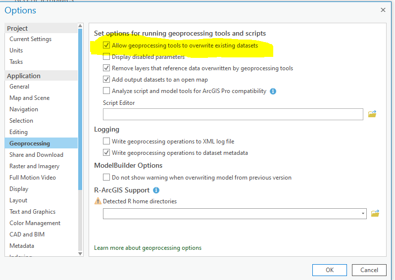
In Projects/Options/Geoprocessing I have Allow geoprocessing tools to overwrite existing datasets checked:
However when I try to geocode a table of addresses and use the same output feature class name the tool turns red with anger and scolds me like a school child:
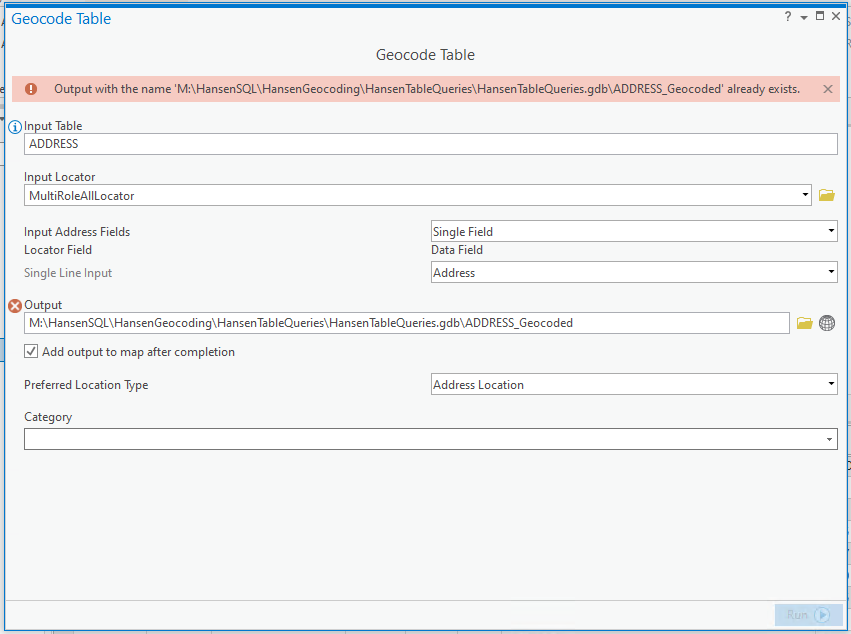
Sort of reminds me of Pink Floyd The Wall:
Wrong, Do it again!
If you don't eat yer meat, you can't have any pudding
How can you have any pudding if you don't eat yer meat?
You! Yes, you behind the bikesheds, stand still laddy!
Is this expected behavior or should I eat my meat and just change the output name?



