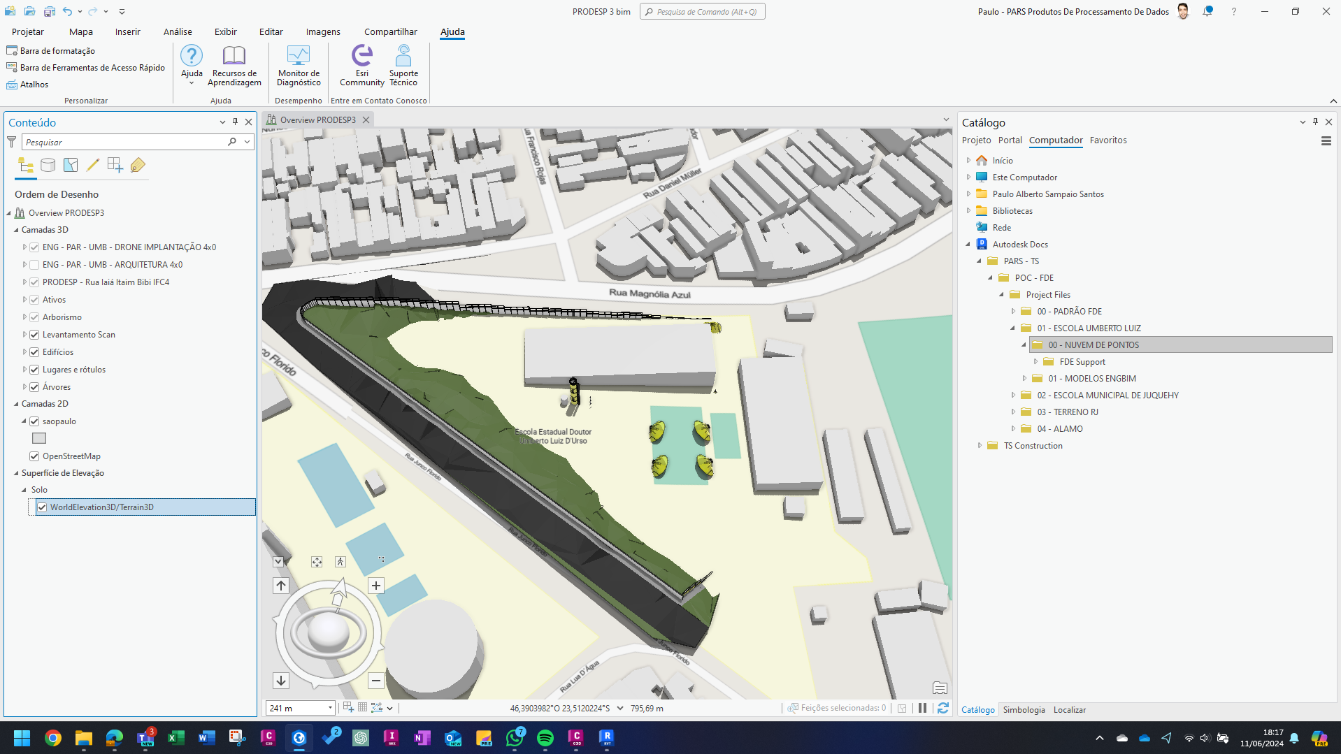
I added a 3D model to a map that uses the 3D basemap from OpenStreetMap. However, there is an excavation at the location, and I would like to represent this using the 3D model, but I'm having trouble with this basemap. How can I adjust the elevation in this area of the basemap so that it cuts out the 3D model and uses the elevation from the model in this spot?

