Hello,
First off, I am new to the GeoEvent processor, so I apologize if this is rudimentary. I am trying to utilize the Networkfleet adapter and have successfully configured the feed from Verizon to create features and update features based on the instructions in the guide:
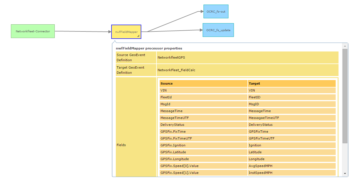
My question, is that this field mapper to feature service connection grabs from the NetworkfleetGPS GeoEvent Definition. How do I create features from the other definitions? Specifically NetworkfleetDiagnostic and NetworkFleetSensor. I have created a flat file like so:
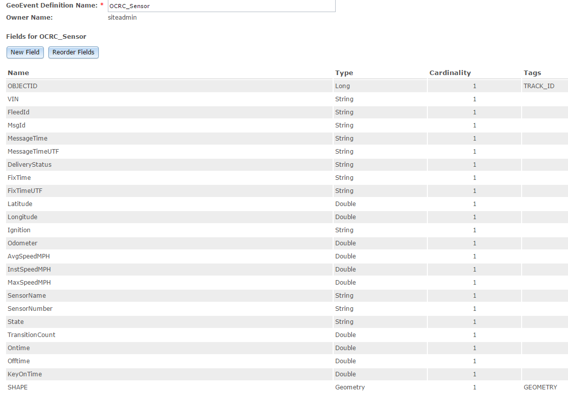
Then I map the fields from NetworkFleetSensor to OCRC_Sensor and add a Feature (i'll get to the JSON in a minute):
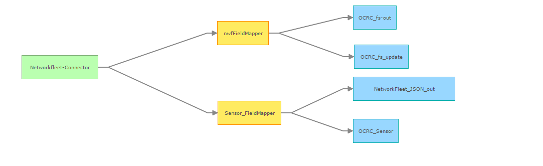
Which gives me the following output.

I think the reason for the null values starting with FixTime is that I am not accessing the Sensor data and that is what I am wondering is how do I access/view that sensor data? When I create the JSON file, all I am seeing is the NetworkfleetGPS file in JSON. So with the prefix of SensorFix.SensorName = SensorName, in the field mapper, it won't populate with anything, because nothing is there...
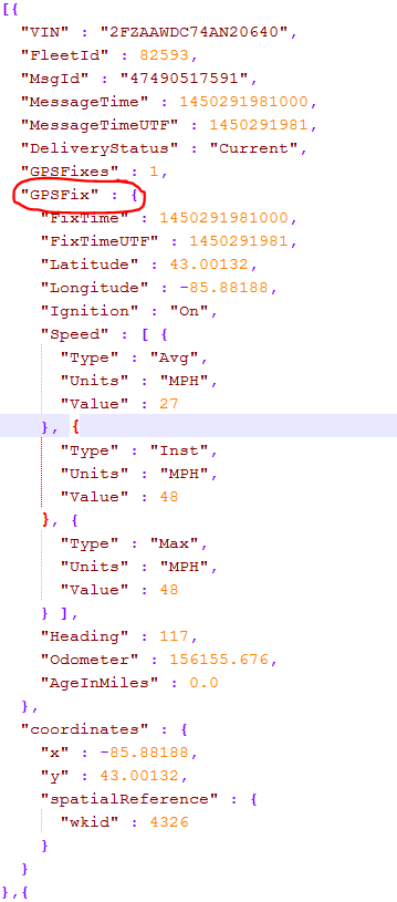
I hope this makes sense. I am just trying to figure out how to access and view the data from the other geoevent Definitions created by the Networkfleet-adapter-10.3.0.jar.
I am using ArcGIS 10.3.1



