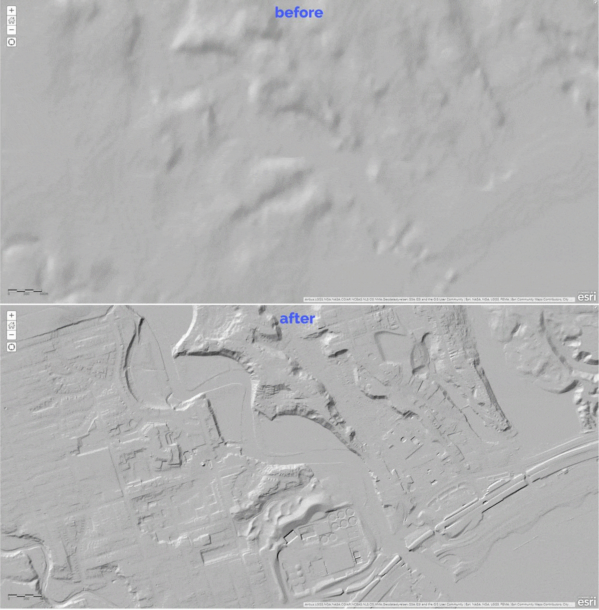
ArcGIS Living Atlas of the World provides foundation elevation layers and tools to support analysis and visualization across the ArcGIS platform. These layers get updated quarterly with high resolution elevation data from open sources and community maps program. In a recent release, world elevation layers are updated with bathymetry and a few high-resolution elevation datasets.
This blog article from Rajinder Nagi provides the details: High resolution data updates to Living Atlas World Elevation Layers (July 2020)
Les membres connectés peuvent publier, suivre les mises à jour, et plus encore. Nouveau ici ? Inscrivez-vous gratuitement.
Find useful guides, FAQs, and documents to help you navigate and make the most of Esri Community.