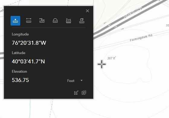
First, the elevation profile functionality in ArcGIS Earth is really pretty cool.
I have been checking elevation values in ArcGIS Earth 1.9 versus other data sources and the values appear to be off substantially. For example, I get values of around 350 feet from both USGS DEMs and the Topo basemaps for a location in Lancaster, Pennsylvania that are reported as 530 feet in ArcGIS Earth's profile.
Any ideas what may be happening here?