Hi,
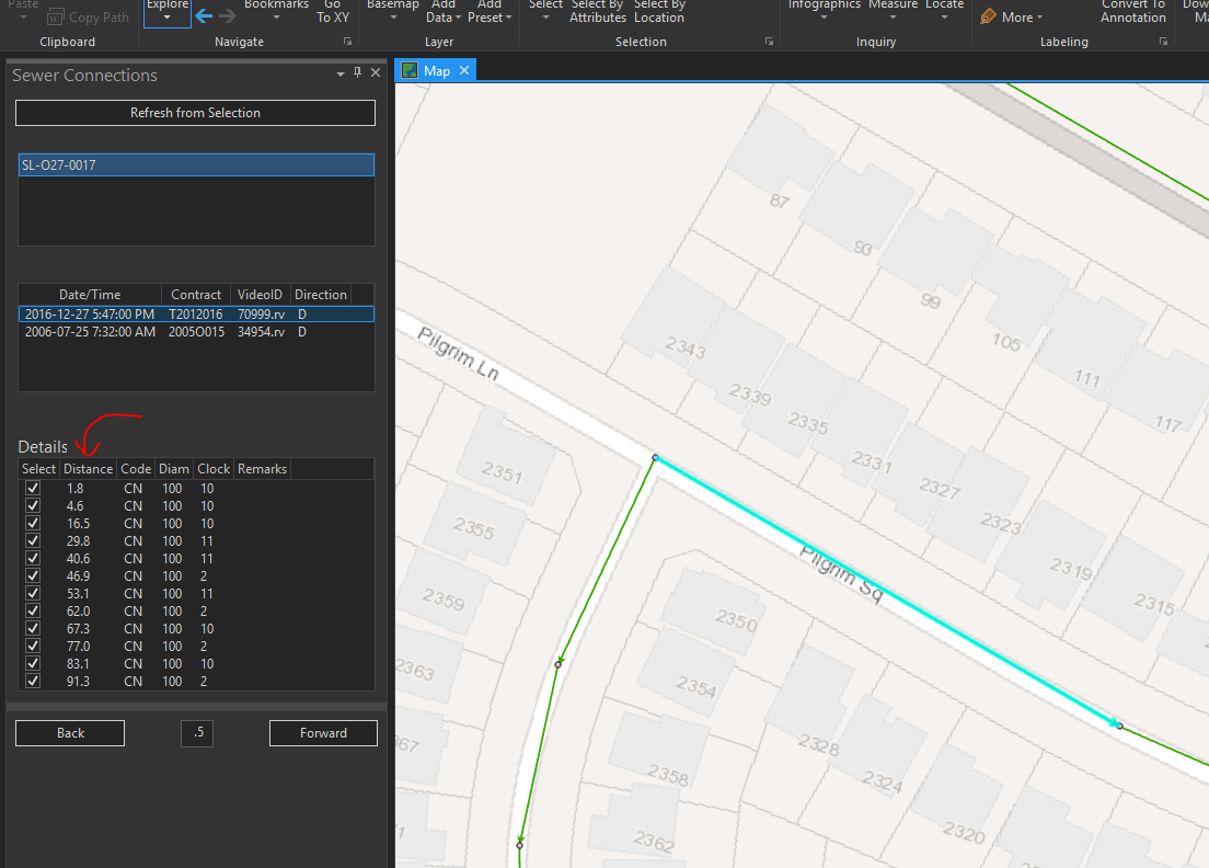
What I'm trying to figure out is a way to add graphics to the map, at specific distances along a selected line. See my example below. The user selects a line segment, then a database is queried that shows all of the sanitary sewer connection lines along that line. What I want to do is to put a point on the screen at each specified distance (starting at the start or end of the line) to show where each connection is.
I've never messed with graphics in ArcGIS Pro SDK before, so any guidance is appreciated.
Thanks!