good morning,
i'm working on the book "Gis Tutorial 3- advanced workbook", and i finished tutorial 5.3 that explain how to build a new geodatabase topology for City of Oleander.mdb
i built in ArcCatalog, in Feature Dataset, new topology with some rules (see arcgis geodatabase topology rules poster) that book prescibes
Finally i fixed all error (1300 about) with error inspector dialog box ( 2 weeks about for fixed all errors)
now polygon areas are coincident with lines feature for example
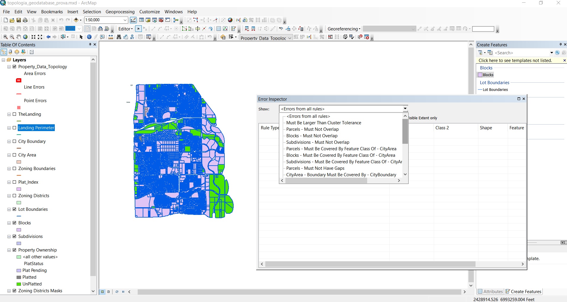
look over the image ..do you agree?
many thanks
Roberto


.jpg)
