This is my first stab with the ArcGIS REST API, having just completed the intro course yesterday. I can get a successful return when using a single pair of xy coordinates as Input Geometry as a query to a MapService Polygon layer. My objective is to get the tax district value for a given geocoded address: simple point in polygon. However, I can't seem to find the proper syntax to perform the operation on multiple pairs of xy coordinates. This is how I get a single pair to work:
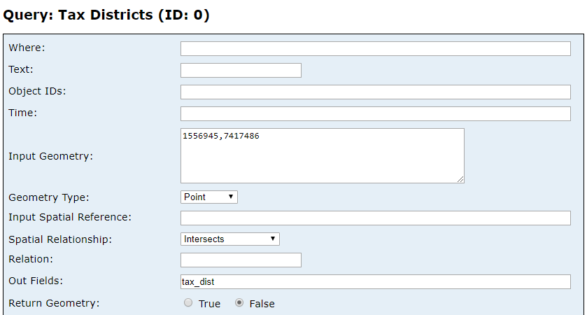
I've truncateded the values for ease of reading; can I input multiple pairs in a query?


