Hi all,
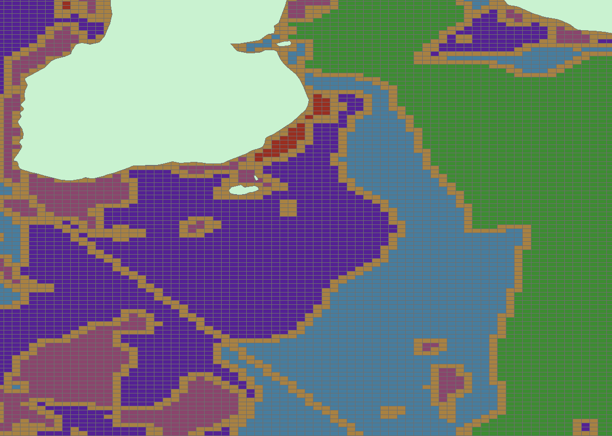
I'm currently using a Fishnet grid to create a model and am joining environmental data layers to the grid using a spatial join in order to assign data to 500x500m2 grids. I'm having difficulty with with some polygon layers as the data isn't being added to the gird but the polygon boundaries are. You can see this below with a sample of a sediment layer- the yellow symbolises polygon boundaries.
Does anyone know how I can permanently remove boundaries so that I don't continue to have this problem? (I've already tried this method 34083 - Symbolize polygon features so that boundary lines between polygons with like attribute values are dissolved )
Any suggestions would be most welcome.
Thanks,
Ruth
Les membres connectés peuvent publier, suivre les mises à jour, et plus encore. Nouveau ici ? Inscrivez-vous gratuitement.
Find useful guides, FAQs, and documents to help you navigate and make the most of Esri Community.