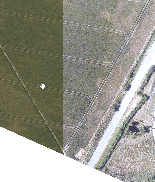
I have around 700 images of Areal photography. Images are compressed in JPEG format. When I load all images in Mosaic Data set, they align very well. By align I mean there are no gaps in between images. See pic:
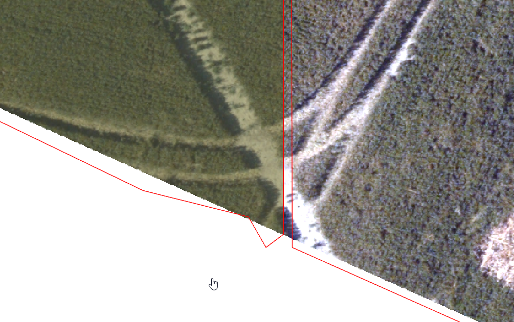
But when I build footprints and boundaries for the same Mosaic data set, it builds boundary with gaps between images. See picture:
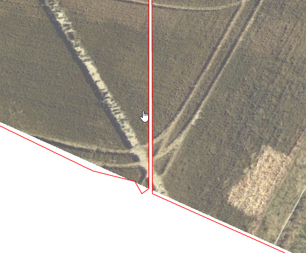
And when I set Mosaic Data set properties to "Always Clip The Rasters to Its Boundary", it clips the some images and leaves the Gap in between. See Picture:
My question is:
Is there are workflow I should follow to build footprints and boundaries so it excluded NoData values, but would not build artifacts in between some pictures?
If you require more clarification, please let me know and I will post my full workflow.



