Hi everyone!
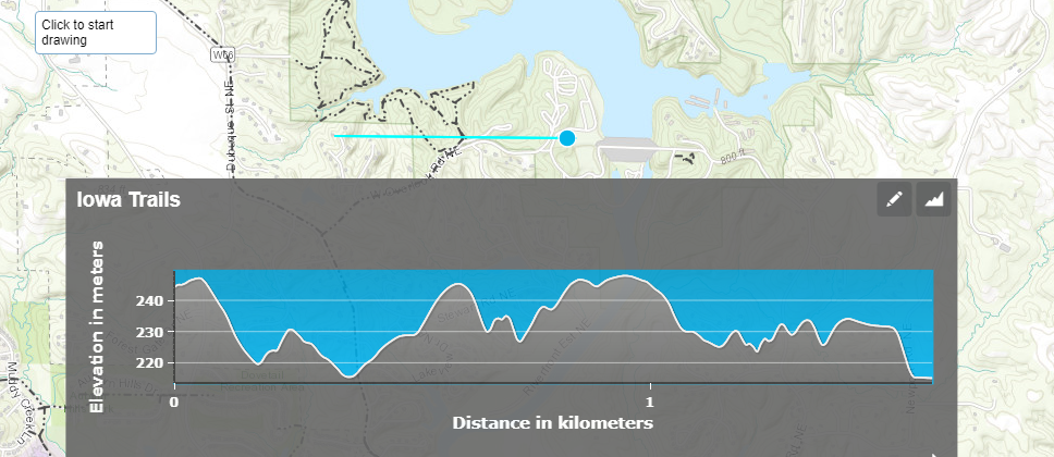
I'm looking to develop an elevation profile tool which would enable to select two points on the map and display a profile along the line segment. Profile to include contribution from buildings, vegetation, street furniture, etc. similar to below screenshot using ArcGIS Java SDK. If anyone can help me out with a solution it will be truly appreciated.