Hi,
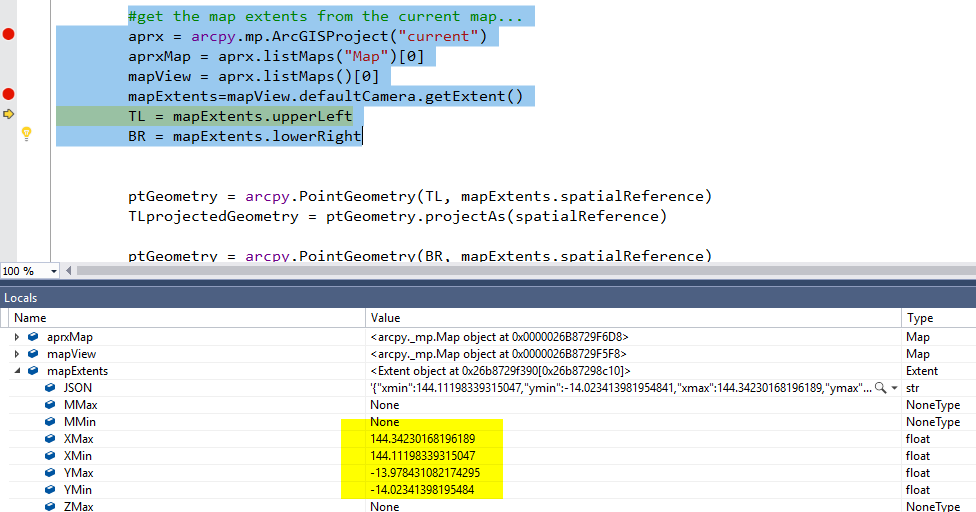
I am using arcgispro 2.2.4, and have a python script which needs the actual extents of the current map view. I use this code...
#get the map extents from the current map...
 aprx = arcpy.mp.ArcGISProject("current")
 aprxMap = aprx.listMaps("Map")[0]
 mapView = aprx.listMaps()[0]
 mapExtents=mapView.defaultCamera.getExtent()
 TL = mapExtents.upperLeft
BR = mapExtents.lowerRightwhich suggests the map upper latitude limit is -13.978...
however, if I roll my mouse to the top left of the map view, it is more like -13.933
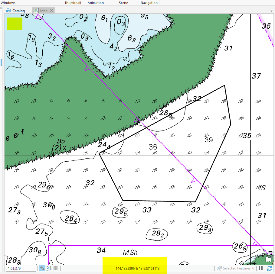
The extents do change when I pan the map, but they are always a significant subset of the actual viewable area, which is really strange.
Can some one please let me know how I can get the actual extents of the map view?
many thanks


