I read this blog,
How to scatter stacked or clustered marker symbols for point features | ArcGIS Blog
and now I need to generate it with some of my data. I do just fine until I perform the "disperse markers" tool. My points seem too far apart:
I read on the blog that they used the value of 0, but what spacing distance was used to get them to appear like they are on the blog?
Anyone else ever try this?
Units are feet so I tried performing the tasks in 0 feet and .05 feet and got the same results. Our projection is State Plane for AZ.
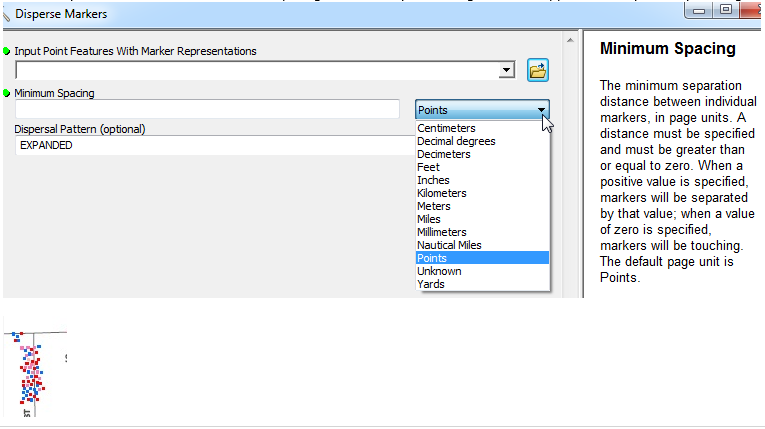
The help says that the distance is in page units and points for default. You could use meters or decimal degrees as well. If the points are not all ready in geographic, you could try converting them to geographic and then using the decimal degree option.
What are the units and projection of the points, and what units and projection are you trying to use?
Good suggestion. I did try the .05 and the result was the same...
I'm baffled?
If you have all ready used a value of 1, try using .5 or even .05, the help is unclear on whether you can use a decimal or whole number.
Les membres connectés peuvent publier, suivre les mises à jour, et plus encore. Nouveau ici ? Inscrivez-vous gratuitement.
Find useful guides, FAQs, and documents to help you navigate and make the most of Esri Community.