I been given an assignment to group accidents that are near a intersection. I was given three shape files one for signal intersections, all intersections and accidents along the road for one county.
The problem that I am running into is overlapping buffers at the intersections. I am doing 250 feet buffers at the intersection. The reason for this is some intersections are too close to each other.
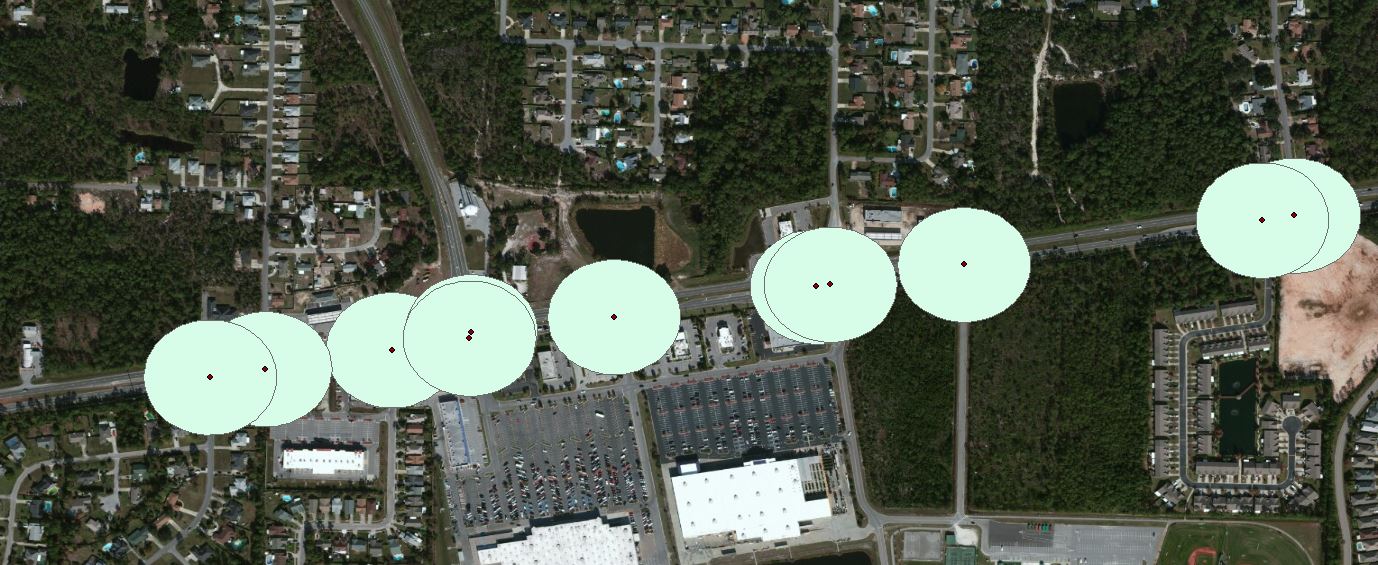
The data that was given to me for intersections are broken into two or more dots one for traffic going left and the other for traffic going right at the same intersection. How can I get these two dots to join through out the whole county instead of doing it one by one.
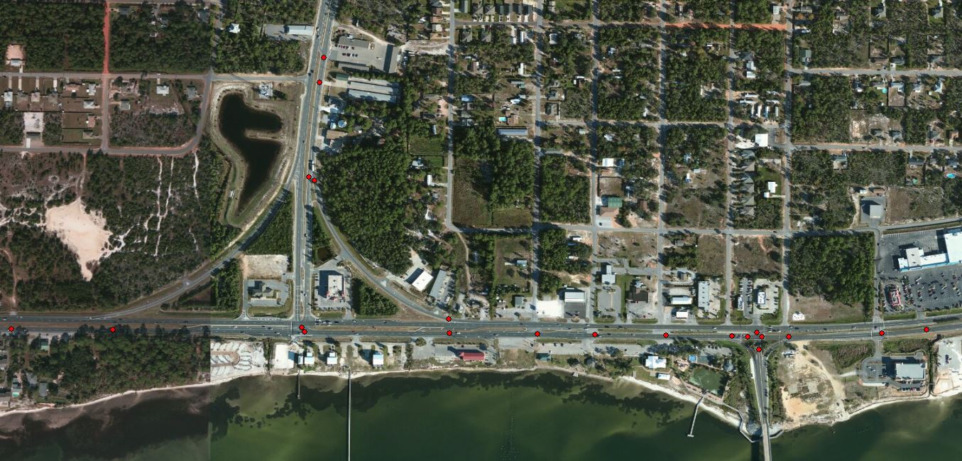
If any one has done something similar to this and would be able to guide me it would be very helpful.
Thanks.



