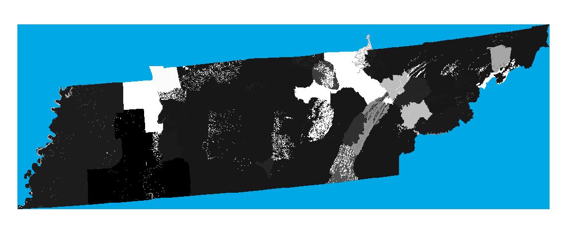
I have downloaded the gridded SSURGO Soil data for Tennessee. The raster layer has bunch of cells outside of Tennessee (to form rectangular extent). However, none of these cells have an objectid, and I think this is the reason they don't clip off when I use extract by mask using the Tennessee state outline. The null values within the state boundaries are mostly water, so I would like to symbolize those "NoData" as blue, but as you can see, all the NoData pixels are blue. How do I get rid of these NoData pixels when they do not have an ObjectID?